
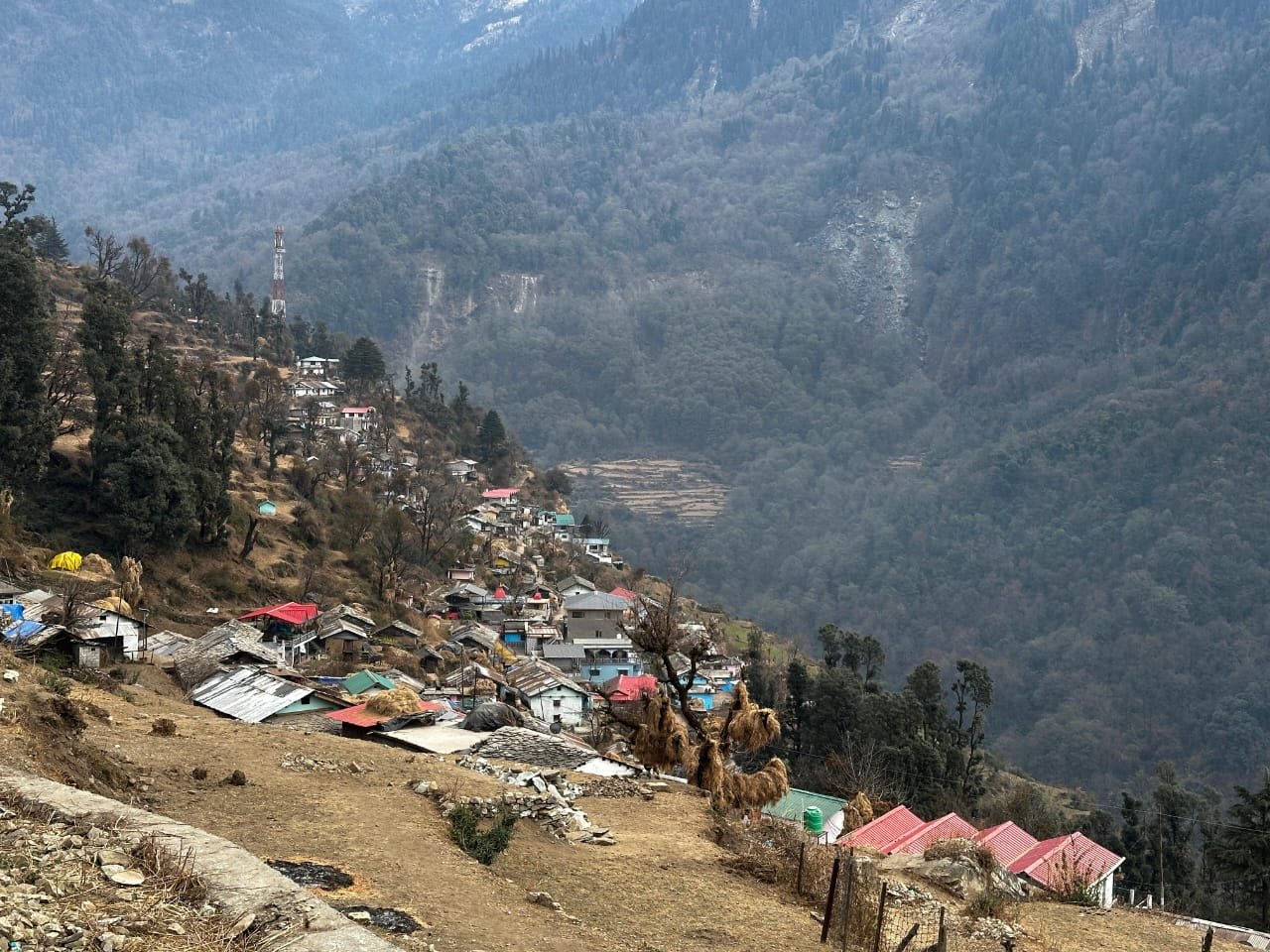
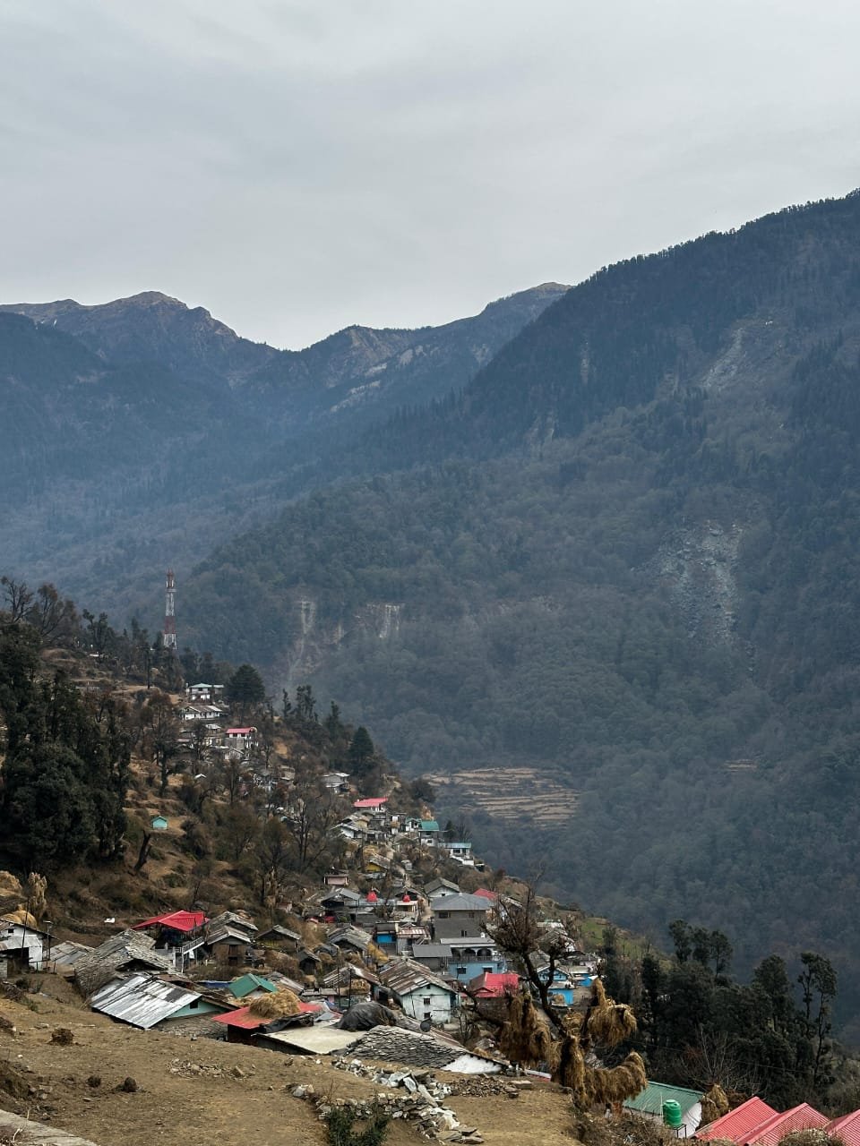
Dodital Trek: Complete Guide to Uttarakhand’s Sacred Lake in the Forest
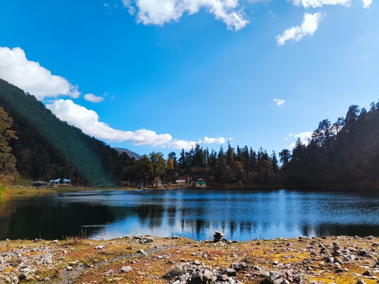
Dodital is a clear, oval alpine lake at roughly 3,310 meters in Uttarkashi district, Uttarakhand, reached by a 22–23 km trek through some of the finest temperate Himalayan forest in the Garhwal region. Dodital is believed in Hindu tradition to be the birthplace of Lord Ganesha, and a small temple at the lake’s edge marks that association — but its reputation on the trekking circuit rests just as much on the visible Himalayan golden trout in its shallows, the dense oak-to-fir forest progression on the approach, and its status as one of the best beginner-friendly Himalayan treks in the state.
This guide covers the full route through Agora, Bebra, and Manjhi, the Darwa Pass extension, permit requirements, cost, difficulty, and more than 35 answered questions — everything needed to plan the Dodital Trek properly, whether it’s your first Himalayan trek or your tenth.
What Is Dodital?
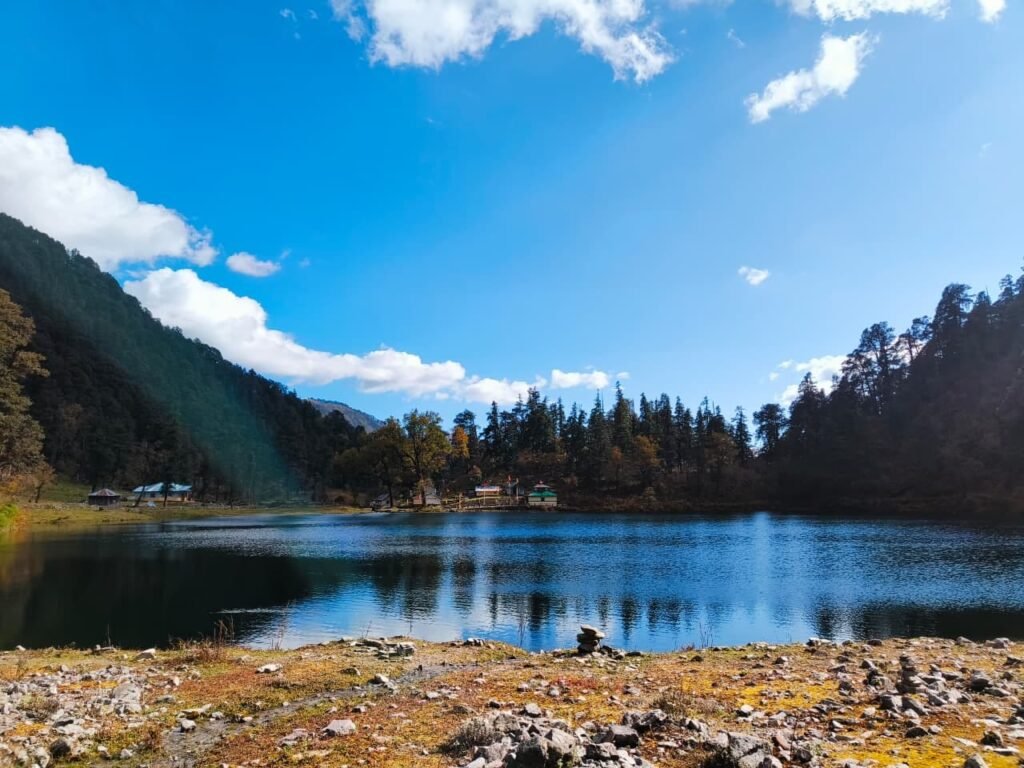
Dodital is a natural alpine lake at approximately 3,310 meters in Uttarkashi district, Uttarakhand, reached by a roughly 22–23 km forest trek from Agora village, and believed in Hindu tradition to be the birthplace of Lord Ganesha.
The name combines “Dodi” — the local Garhwali term for the Himalayan golden trout found in the lake’s clear water — and “tal,” the standard word for lake: literally, the lake of the golden trout. Pilgrims also call it Ganesh Tal, after the small Ganesha temple maintained at the water’s edge. Unlike many high-altitude Himalayan treks, Dodital offers a gradual, non-technical ascent through oak, rhododendron, and eventually silver fir forest, which is exactly why it’s so often recommended as one of Uttarakhand’s best beginner treks — accessible to families with children above 10, first-time trekkers, photographers, and birdwatchers alike.

Why Visit Dodital?
There are Himalayan lakes that announce themselves — famous, photographed, written about everywhere. Dodital isn’t one of them. You earn it over three or four days of walking through genuinely fine temperate forest, and arriving at the lake’s edge means understanding both the walk and the destination better for the effort involved.
The lake’s religious weight is specific: local tradition identifies Dodital as the birthplace of Lord Ganesha, the deity who presides over every beginning and removes obstacles from every journey — a quietly fitting association for a trek that itself functions as many people’s first real Himalayan journey. Beyond mythology, the lake’s ecology is genuinely exceptional — the Himalayan golden trout population is visible in the shallows on clear days, protected from fishing for decades, and present in numbers that indicate a healthy, intact ecosystem. The approach forest, passing through three distinct vegetation zones from lower oak to upper subalpine fir, is among the finest intact temperate Himalayan forest accessible by trek in Uttarkashi district, and the birdlife — including the Himalayan monal, koklass pheasant, and dozens of warbler and finch species — is exceptional in spring and autumn.
Dodital is genuinely a beginner trek in terms of technical difficulty — no equipment, no technical sections, gradual elevation gain — but it rewards attention rather than mere completion. The forest light, the dawn bird chorus at the lake, the night sky with zero light pollution, and the small temple at the water’s edge are the specific pleasures the word “beginner” doesn’t quite capture.
Planning your first Himalayan trek and want it handled end to end? Kashi of North offers Dodital Trek packages with permits, guides, and equipment included — WhatsApp +91 7253079221.
History and Mythology
The following presents Hindu religious tradition as believed and practiced — a devotional narrative, not a historical claim.
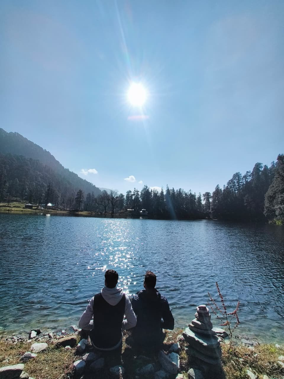
According to local tradition, Goddess Parvati created Lord Ganesha from the earth and water of this alpine lake — the clay that formed his body came from Dodital’s banks, and the water that animated it came from this same source. This origin story gives Dodital a quality of sacred primacy: the deity who presides over all beginnings was himself given his beginning here. A small Ganesha temple at the lake’s edge, tended by local priests during the trekking season, marks this association, and pilgrims perform puja there before exploring the lakeside.
The lake also carries associations with Sage Asit Muni, said in Garhwali tradition to have practiced penance in this forest, among other mythological figures woven into the oral tradition of surrounding villages.
Local Garhwali communities in Sangam Chatti, Agora, and the broader upper Asi Ganga valley have known the lake, its fish, and its Ganesha association throughout their settlement history. The trek became known to the wider Indian hiking community more recently, in the late 20th century, and now appears on the itinerary of numerous trekking operators — though it remains genuinely less crowded than many comparably beautiful destinations.
The lake and surrounding forest sit within or adjacent to the buffer zone of Govind National Park and Wildlife Sanctuary, a protected area covering the upper Asi and Rupin valley systems — a status that has helped preserve both the forest and the trout population.
Geography and Ecology
The Lake
Dodital is a natural alpine lake formed in a high-altitude, glacially-influenced basin, roughly 400 meters long with a maximum depth estimated at 10–12 meters — shallow enough that the golden trout remain visible through much of the lake. Its water clarity comes directly from an unpolluted catchment: the entire watershed is protected forest, and the lake is fed by snowmelt, rainfall, and springs rather than any human-influenced source. Water temperature stays between roughly 4°C and 12°C year-round, cold enough for trout, warm enough to avoid complete freezing even in winter.
The Forest — Three Zones in One Trek
- Lower zone (Agora to ~2,200 m): Oak and rhododendron forest, with the rhododendron blooming vivid red across March–April.
- Middle zone (2,200–2,800 m): Mixed oak, maple, horse chestnut, and Himalayan cedar — the most biologically diverse section, with a varied canopy and rich understory.
- Upper zone (2,800–3,310 m): Silver fir and Himalayan birch, thinning gradually as the lake approaches and the sky becomes visible above the canopy.
This botanical progression, clearly visible on a single route, is one of the trek’s most distinctive features.
The Dodital Trek Route
Agora to Bebra (~7 km, 3–4 hours, elevation gain ~350 m to ~2,400 m)
The trek begins at roughly 2,050 meters after collecting the forest permit at the Agora checkpost. The trail enters oak forest with rhododendron undergrowth immediately, following the Asi Ganga for much of the way, audible below the trail in many places. This is the gentlest section — wide, well-defined, no steep climbs. Leave Agora by 7:00 AM if possible; the morning forest light in the first two hours is the finest of the day.
Bebra to Manjhi (~7 km, 3.5–4.5 hours, elevation gain ~350 m to ~2,750 m)
The trail climbs into increasingly dense mixed forest, transitioning from oak toward the middle-altitude conifer-broadleaf mix that’s the most botanically diverse stretch of the trek. Occasional stream crossings on wooden bridges or rock-hops require more care in monsoon than in autumn. Manjhi has the trek’s best-established campsite — flat ground beside the stream, the standard overnight stop for most itineraries.
Manjhi to Dodital (~9 km, 4–5 hours, elevation gain ~560 m to ~3,310 m)
The finest and most demanding section. Forest transitions into upper subalpine silver fir and birch, trees space out, and the sky opens above the canopy more often. In the final 2–3 km, the Banderpoonch massif becomes visible to the north, and then — without much warning — the forest opens and the lake appears, clear and usually still, the Ganesha temple visible on the near shore. Camping is set back from the water’s edge in forest clearings to the south and southwest, to prevent erosion.
Optional Extension: Dodital to Darwa Pass (~5 km one-way, 4–5 hours, up to ~4,150–4,200 m)
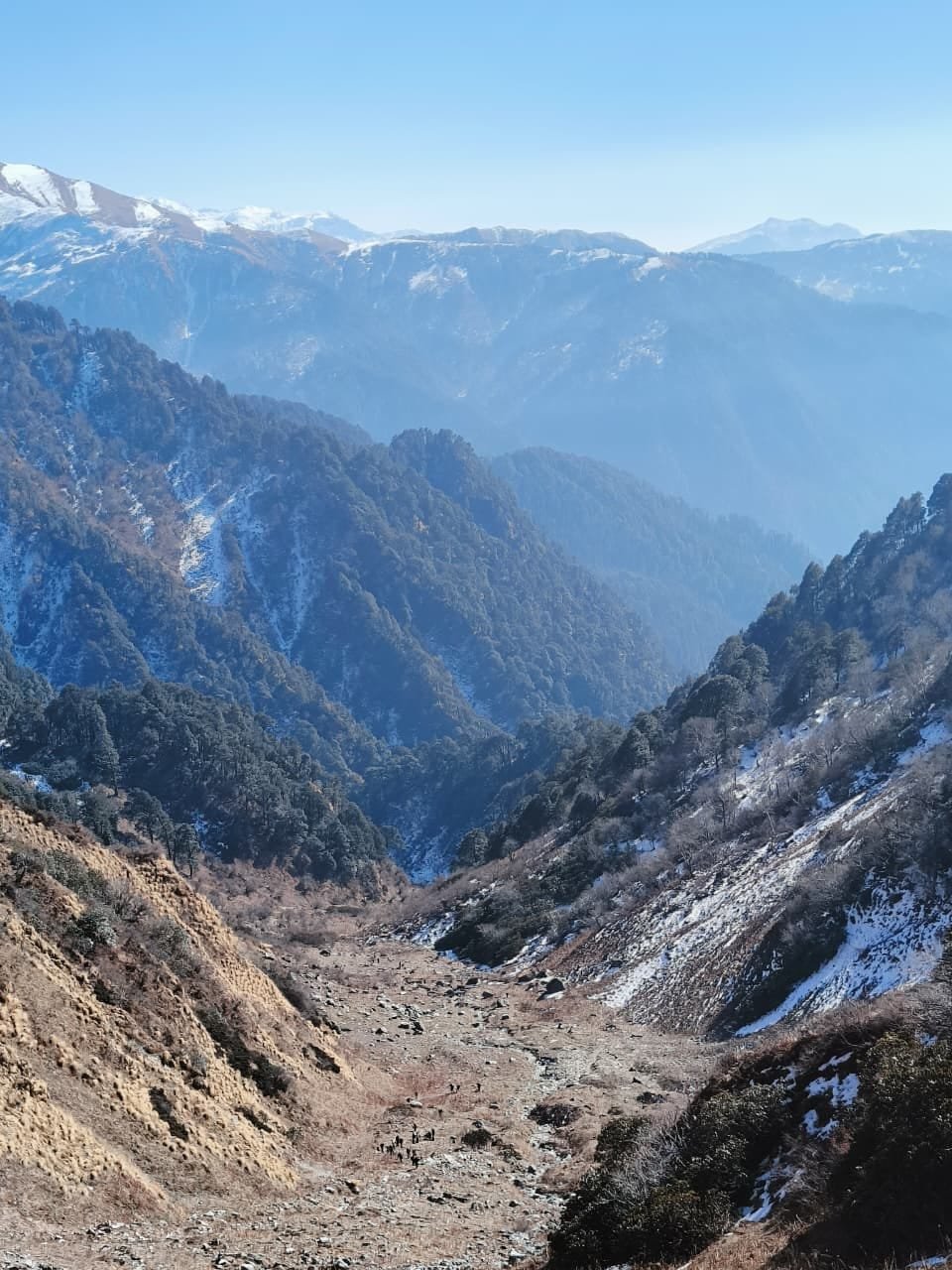
For trekkers who want to go higher, the trail continues to Darwa Pass, gaining roughly 850–900 meters through upper subalpine forest and alpine scrub. From the pass, views take in the Banderpoonch massif, Swargarohini, Black Peak (Kala Nag), Draupadi Ka Danda, and on very clear days the Gangotri group to the east. This extension is significantly more demanding than the main trek — good fitness and at least one acclimatization night at Dodital are essential, and it’s genuinely not recommended for beginners.
Dodital Trek Distance Table
| Origin | Distance to Uttarkashi | Approx. Time |
|---|---|---|
| Delhi | ~360–390 km | 9–11.5 hours |
| Dehradun | ~130–145 km | 4–5.5 hours |
| Haridwar | ~170–178 km | 5–6 hours |
| Rishikesh | ~152–170 km | 4.5–7 hours |
| Segment | Distance | Approx. Time |
|---|---|---|
| Uttarkashi to Sangam Chatti | ~12 km | 20–45 minutes |
| Sangam Chatti to Agora | ~2–3 km | 30–45 min (foot/vehicle) |
| Agora to Bebra | ~7 km | 3–4 hours |
| Bebra to Manjhi | ~7 km | 3.5–4.5 hours |
| Manjhi to Dodital | ~9 km | 4–5 hours |
| Dodital to Darwa Pass | ~5 km | 4–5 hours |
Dodital Trek Packages
| Package Type | Typical Inclusions | Typical Exclusions |
|---|---|---|
| Budget | Permit assistance, shared transport, basic camping | Personal gear, guide |
| Standard | Permit, guide, camping equipment, meals | Personal gear, insurance |
| Premium | Permit, guide, porter, better equipment, private transport | Personal gear, tips |
| Private Trek | Fully customized dates and pace | — |
| Group Trek | Shared costs, fixed departure dates | Date flexibility |
Prices vary by season, group size, and inclusions — always confirm current package pricing directly before booking.
Want a clear cost breakdown for your group size and dates? Kashi of North can walk you through current Dodital Trek pricing — WhatsApp +91 7253079221.
Trek Difficulty and Who Should Go
The Dodital Trek is rated Easy to Moderate — a well-defined trail with gradual ascents and no technical sections, though the roughly 22–23 km one-way distance and 1,260 m elevation gain require reasonable baseline fitness.
Who Should Do This Trek
- Families with children 10 years and above who enjoy nature and outdoor activity
- Photographers seeking forest, lake reflection, and bird subjects
- First-time trekkers wanting a genuine but non-technical Himalayan experience
- Anyone with reasonable fitness able to comfortably walk 8–12 km a day
Who Should Avoid or Take Extra Caution
- Anyone with heart or respiratory conditions, without medical clearance
- Those unable to walk for 5–6 hours a day
- Beginners with no baseline fitness at all attempting the faster 3-day itinerary
Preparation
Two to three weeks of regular walking (30–45 minutes daily, including some uphill) before the trek significantly improves comfort. Practice with a loaded backpack if carrying your own gear.
Best Time to Visit
April–June and September–November are Dodital’s best windows, avoiding both the heavy monsoon rain (July–August) and the winter snow closure (December–March).
- Spring (April–June): Rhododendron forest in full bloom below 2,500 m through April, the Himalayan monal displaying breeding plumage, trail clear of snow from around April in a normal year, bird diversity at its peak. Widely considered the most visually rewarding window.
- Monsoon (July–September): Heavy rain in July–August makes the lower trail muddy with active leeches; September sees the monsoon clearing and is genuinely underrated, combining lush green forest with improving visibility.
- Autumn (September–November): October is the single finest month — post-monsoon clarity, comfortable temperatures, first autumn color in deciduous sections, and the clearest lake water of the year.
- Winter (December–March): The trail above Bebra becomes snow-covered and largely impassable without proper winter equipment — not recommended for general trekkers.
Month-wise Weather Guide
| Month | Day Temp (Lake) | Night Temp (Lake) | Trail Conditions | Recommended For |
|---|---|---|---|---|
| January | -5°C to 2°C | -15°C to -8°C | Deep snow above 2,500m | Not recommended |
| February | -3°C to 4°C | -12°C to -6°C | Snow above 2,500m | Not recommended |
| March | 0°C to 8°C | -8°C to -2°C | Melting, muddy | Experienced only |
| April | 5°C to 12°C | -2°C to 5°C | Clear, rhododendron blooming | Excellent |
| May | 8°C to 15°C | 2°C to 8°C | Clear | Excellent |
| June | 10°C to 16°C | 4°C to 10°C | Good, pre-monsoon | Good |
| July | 10°C to 14°C | 6°C to 10°C | Muddy, leeches | Caution |
| August | 9°C to 14°C | 6°C to 10°C | Muddy, clearing late | Caution |
| September | 6°C to 12°C | 2°C to 7°C | Post-monsoon, clearing | Good |
| October | 2°C to 10°C | -3°C to 3°C | Excellent, clear | Best month |
| November | -2°C to 7°C | -8°C to -1°C | Upper trail freezing | Late season only |
| December | -5°C to 3°C | -12°C to -5°C | Snow above 2,700m | Not recommended |
Camping Guide
| Campsite | Altitude | Notes |
|---|---|---|
| Bebra | ~2,400 m | First option, gentle acclimatization stop |
| Manjhi | ~2,750 m | Best established site, flat ground, water access |
| Dodital | ~3,310 m | Destination campsite, forest clearings south of the lake |
Camping rules: Camp only in designated areas; never directly on the lake bank; carry all waste back to Uttarkashi; don’t cut trees or branches for firewood — use a camp stove; open fires are not permitted at the Dodital lakeside due to conservation concerns, though established fire pits at lower camps (with fallen wood only) may be used with care; use cat holes at least 50 m from water sources where no latrines exist.
A sleeping bag rated to at least -5°C is recommended for April, October, and shoulder-season visits; a -10°C bag for early April and late October, when night temperatures at the lake can fall to -3°C to -8°C.
Accommodation
There’s no permanent guesthouse or hotel accommodation on the trail beyond Agora — the trek is entirely camping-based from that point. Basic tea stalls occasionally operate seasonally at Agora and sometimes Bebra, but shouldn’t be relied on for food or shelter.
| Location | Type | Price Range |
|---|---|---|
| Uttarkashi | Budget guesthouse | ₹400–₹900/night |
| Uttarkashi | Mid-range hotel | ₹900–₹2,500/night |
| Uttarkashi | GMVN rest house | ₹700–₹2,000/night |
| Uttarkashi | Better hotel | ₹2,500–₹5,000/night |
| Agora | Very basic, enquire locally | Seasonal only |
Need Uttarkashi accommodation booked before or after your trek? Kashi of North handles hotel bookings and camping equipment arrangements — call or WhatsApp +91 7253079221.
Food Guide
No commercial food service exists beyond Agora — all meals from that point are carried or prepared at camp. A typical trek meal plan: breakfast in Uttarkashi or Agora on day one, then camp-prepared breakfasts, packed trail lunches, and camp dinners for the remainder.
Recommended trail food: mixed nuts and dried fruit, energy and cereal bars, dark chocolate, instant oats, instant noodles or quick-cook rice, packeted dal for camp protein, electrolyte powder, and ginger candy for altitude nausea.
Water: available from the Asi Ganga and tributaries through the lower and middle sections; treat or filter before drinking, and carry a filter (such as a Sawyer Squeeze) or purification tablets, particularly for water sourced at or above Manjhi.
For a taste of local Garhwali cuisine before or after the trek, look for Mandua Roti, Phaanu, Kafuli, Jhangora Kheer, and locally grown rajma in Agora or Uttarkashi.
Packing List
| Category | Items |
|---|---|
| Documents | Government ID, forest permit, printed emergency contacts, cash |
| Clothing | 2 base layers, fleece/down mid-layer, waterproof shell, 2 pairs quick-dry trousers, 3+ pairs wool socks, sun hat, warm beanie, gloves, gaiters |
| Footwear | Waterproof ankle-support trekking boots, camp sandals |
| Camping gear | 3-season tent (4-season for April/October), sleeping bag -5°C minimum, sleeping mat, camp stove and fuel, cooking pot |
| Water | Filter or purification tablets |
| Electronics | Headlamp, spare batteries, power bank, phone with offline maps |
| Medical | Personal medications, paracetamol/ibuprofen, Diamox (consult doctor), ORS, antiseptic, blister care, antidiarrheal |
| Environment | Reusable waste bags, whistle, emergency foil blanket, small trowel for cat holes |
Wildlife
The forest around Dodital shelters Himalayan black bear (present but rarely seen), Himalayan serow, musk deer, and occasionally leopard in lower zones, alongside flying squirrel, pika, and various small mammals. The lake’s own Himalayan golden trout (Schizothorax sp., sometimes called snow trout) is the trek’s signature wildlife encounter — clearly visible in the shallows and strictly protected from fishing.
Birdlife is exceptional, particularly in April–May and September–October: the Himalayan monal (Uttarakhand’s state bird), koklass pheasant, khalij pheasant, Himalayan griffon vulture, and the occasional lammergeier, alongside numerous thrushes, warblers, finches, and tits through the forest zones. The dawn chorus at the lake on a spring morning — multiple species calling from the fir forest, the monal’s whooping call carrying from the ridge above — is genuinely one of Uttarakhand’s finer natural sound experiences.
Safety Tips
Altitude: 3,310 m is enough to cause mild symptoms in some visitors, especially those arriving quickly from sea level. Spend a night in Uttarkashi (1,165 m) before starting, don’t rush the ascent, hydrate well, avoid alcohol, and descend immediately if severe headache, confusion, or inability to walk develops.
Weather: Conditions can shift quickly at altitude; the recommended 4-day itinerary builds in acclimatization.
Leeches: Active in the lower forest during and after monsoon (July–September) — not dangerous, but wear long trousers tucked into gaiters and check regularly.
Solo trekking: Possible for experienced trekkers, but inform someone in Uttarkashi of your itinerary, ensure your details are recorded at the Agora checkpost, and carry a whistle and emergency blanket.
Descent care: Accidents are more common on the way down than up — maintain the same footing care descending as ascending.
Photography Guide
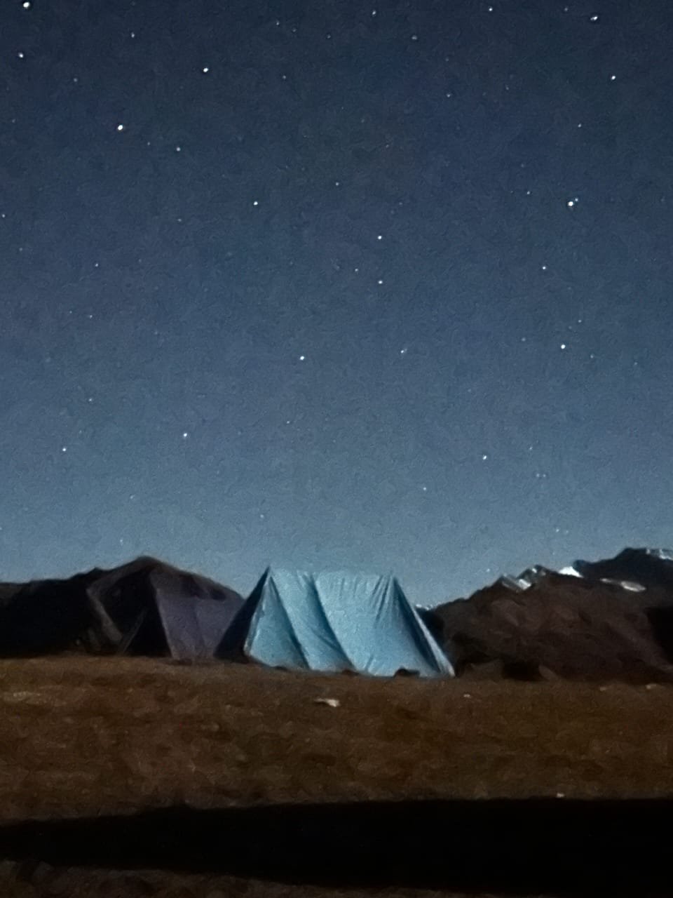
The dawn light on the lake — the 30-minute window after sunrise when the water is mirror-still and the forest reflects with full fidelity — is the trek’s primary photography event; use a tripod and low ISO, and bracket exposures as light shifts from pre-dawn blue to warm gold. The golden trout in the shallows photograph well with a polarizing filter to cut surface glare, shot with the sun behind you. The Himalayan monal is most visible on the upper slopes in early morning and late afternoon, requiring a 400mm+ lens for frame-filling shots. Forest interior photography is best on overcast days in the Bebra–Manjhi section, when soft, even light beats direct sun. Night sky photography is exceptional at 3,310 m with zero light pollution — October offers the best combination of clear skies and low humidity; start around ISO 3200, f/2.8, 20–25 second exposures. Drones require explicit prior permission from the Wildlife Department given the Govind National Park buffer zone status, and flying without clearance is illegal and enforced.
Nearby Places
| Place | Distance/Access | Notes |
|---|---|---|
| Darwa Pass | 5 km from Dodital | Panoramic extension, experienced trekkers only |
| Dayara Bugyal | Separate trek from Uttarkashi area | High-alpine meadow, different trailhead |
| Nachiketa Tal | Separate approach from Uttarkashi | Smaller, easier alpine lake |
| Gangotri | ~100 km from Uttarkashi | Char Dham temple, 3,415 m |
| Harsil | ~72 km from Uttarkashi | Apple orchard valley |
| Gaumukh Trek | Via Gangotri | Gangotri Glacier snout, 4,023 m |
| Kedartal Trek | Near Uttarkashi | Demanding alpine lake trek |
| Gangnani | ~48 km from Uttarkashi | Hot spring, good pre/post-trek stop |
| Bhatwari | ~30 km from Uttarkashi | Gateway town, services |
Practical Information
Mobile network: None reliable beyond Sangam Chatti/Agora — download offline maps before departing Uttarkashi.
ATMs: None on the trail; withdraw cash in Uttarkashi.
Fuel: Fill up in Uttarkashi before heading to Sangam Chatti/Agora.
Medical facilities: None on the trail; the nearest hospital is in Uttarkashi, roughly 12 km from Agora.
Responsible Tourism
The trail and lake area are designated plastic-free zones — carry a reusable bottle and cloth bags, and expect enforcement at forest checkposts. Fishing is strictly prohibited and enforced; do not approach the lake with fishing gear or feed the trout. Camp only in designated areas, use cat holes at least 50 m from water sources, pack out all waste with no exceptions for “biodegradable” food scraps, and never pick flowers or collect rocks. The forest around Dodital includes old-growth trees over 150 years old — don’t cut or break branches, and don’t light fires outside designated, permitted areas.
Common Mistakes to Avoid
- Starting the trek without a forest permit
- Carrying insufficient warm clothing, assuming summer means warm nights (it doesn’t, even in June)
- Not carrying a water filter for stream water
- Bringing plastic bags or packaging, which is strictly banned
- Attempting the trek with zero fitness preparation
- Arriving without confirmed Uttarkashi accommodation in May–June
- Attempting to fish — strictly prohibited and enforced with real fines
- Underestimating daily distances on mountain terrain versus flat ground
- Not downloading offline maps before losing signal above Agora
- Rushing the descent, when most accidents actually happen going down
- Not informing anyone of your itinerary before a solo attempt
- Flying a drone without permits
Conclusion
Dodital earns its reputation through accumulated experience rather than one dramatic moment — the monal calling from the fir forest above the lake, the golden trout moving through October-clear shallows, the Ganesha temple at dawn, the Milky Way overhead on a clear autumn night, the rhododendron forest in April bloom on the way up. None of it is a single “wow”; it’s the texture of a place experienced over three or four days of attentive walking.
The trek asks for fitness, preparation, and respect for its rules — camp only where designated, carry out everything you bring in, and never fish — not as burdens, but as the practices that keep the lake what it is.
Ready to plan your Dodital Trek? Kashi of North handles permits, experienced local guides, camping equipment, Uttarkashi accommodation, and fully customized trek itineraries.
📞 Call/WhatsApp: +91 7253079221 📧 Email: kashiofnorth@gmail.com 🌐 Website: kashiofnorth.com
Frequently Asked Questions
1. What is Dodital? A pristine alpine lake at 3,310 meters in Uttarkashi district, Uttarakhand, believed to be the birthplace of Lord Ganesha and home to the visible Himalayan golden trout.
2. How far is Dodital from Uttarkashi? About 12 km by road to Sangam Chatti, then roughly 22–23 km on foot from Agora village — a 2–3 day trek.
3. What is the altitude of Dodital? 3,310 meters (10,860 feet) above sea level.
4. How difficult is the Dodital Trek? Easy to Moderate — a well-defined trail with gradual elevation gain and no technical sections.
5. What is the best time to visit Dodital? April–June for wildflowers and birds, September–November for post-monsoon clarity; October is the single best month overall.
6. Is the Dodital Trek suitable for beginners? Yes, it’s widely considered one of Uttarakhand’s best beginner treks given its gradual ascent and well-marked trail.
7. Is camping allowed at Dodital? Yes, with a forest permit, in designated areas only — there’s no permanent guesthouse accommodation on the trail.
8. Is fishing allowed at Dodital? No, strictly prohibited and enforced to protect the golden trout population.
9. How do I get a forest permit for the Dodital Trek? At the forest checkpost in Agora or the Uttarkashi Forest Division Office, for a nominal fee (₹50–₹150/person; verify current rates).
10. What wildlife can I see at Dodital? The Himalayan golden trout, Himalayan monal, koklass pheasant, lammergeier, and occasionally Himalayan black bear or musk deer.
11. Is there mobile network on the Dodital Trek? No reliable network beyond Sangam Chatti/Agora — download offline maps in advance.
12. Do I need a guide for the Dodital Trek? Not mandatory, but strongly recommended for first-time trekkers.
13. What is the Darwa Pass extension? A further 5 km, 4–5 hour climb from Dodital to a 4,150–4,200 m ridge with panoramic Himalayan views — significantly more demanding than the main trek.
14. Can families with children do the Dodital Trek? Yes, for children 10 and above with reasonable fitness; a 5-day itinerary with a rest day at the lake suits families best.
15. What sleeping bag do I need for Dodital? Rated to at least -5°C; -10°C for April and October visits.
16. Is Dodital open in winter? The trail above Bebra is largely impassable December–February without full winter equipment.
17. What is the religious significance of Dodital? Believed to be the birthplace of Lord Ganesha, marked by a small temple at the lake’s edge.
18. What is the Himalayan golden trout at Dodital? A cold-water fish species (Schizothorax sp.) visible in the lake’s clear shallows, protected from fishing for decades.
19. Are drones allowed at Dodital? No, the area falls within the Govind National Park buffer zone, and drone flying requires explicit prior Wildlife Department clearance.
20. What should I carry for the Dodital Trek? Waterproof trekking boots, a -5°C sleeping bag, a 3-season tent, a water filter, warm layers, a first-aid kit, and the forest permit — see the full packing list above.
21. Is there food available on the Dodital Trek? Only basic seasonal tea stalls at Agora — carry all food for the trek beyond that point.
22. How do I reach Sangam Chatti from Uttarkashi? Roughly 12 km by local taxi or shared jeep on a side road off the Gangotri Highway.
23. Can I do the Dodital Trek alone? Experienced solo trekkers can, provided they inform the checkpost of their itinerary and carry proper emergency equipment; first-timers should hire a guide.
24. What is the Govind National Park? A protected wildlife sanctuary covering the upper Asi and Rupin valley systems in northern Uttarakhand, within or adjacent to which Dodital sits.
25. How far is Darwa Pass from Dodital? About 5 km one-way, with roughly 850–900 m elevation gain, taking 4–5 hours.
26. Is the Dodital Trek good for photography? Yes, especially the lake reflections, rhododendron forest, golden trout, night sky, and Himalayan monal.
27. What are leeches and should I worry about them? Small, non-dangerous but unpleasant blood-feeding invertebrates active in the lower forest during monsoon — wear long trousers tucked into gaiters and check regularly.
28. How do I reach Dodital from Delhi? Via Rishikesh and Uttarkashi to Sangam Chatti by road (roughly 9–11.5 hours total to Uttarkashi), then a 2–3 day trek from Agora.
29. Is there a temple at Dodital? Yes, a small Ganesha temple at the lake’s edge, maintained by local priests during the trekking season.
30. What boots do I need for the Dodital Trek? Waterproof, ankle-support trekking boots — trail runners aren’t recommended given monsoon mud and cold shoulder-season conditions.
31. Can I see Banderpoonch from Dodital? Yes, the massif is visible above the treeline to the north from the lake, and more fully from Darwa Pass.
32. What is the Asi Ganga? A Bhagirathi tributary that rises above Dodital and runs alongside the lower trail, providing water throughout the lower and middle sections.
33. Is Dodital Trek suitable for senior citizens? Yes, for active seniors without significant cardiac or respiratory conditions, using the 4–5 day itinerary with generous rest periods and a pre-trek medical check.
34. What happens if I have altitude sickness at Dodital? Descend immediately if symptoms are severe — don’t wait for improvement at altitude; call 112 if signal is available.
35. What is the best month for birdwatching at Dodital? April and May for peak diversity, October for autumn migrants.
36. What is the trail like in monsoon? Muddy and slippery with active leeches in the lower forest, though lush and beautiful on clear days.
37. Where is the starting point of the Dodital Trek? Agora village, roughly 2–3 km above Sangam Chatti, where the forest permit checkpost is located.