
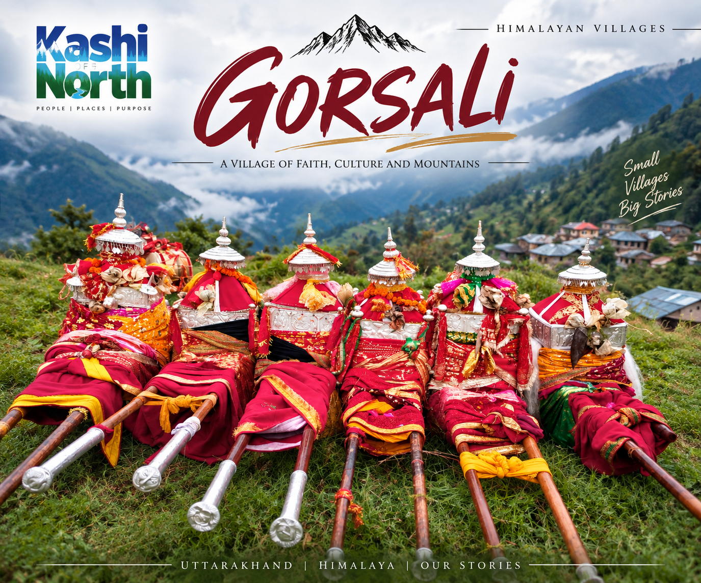
Gorsali Village, Uttarkashi: A Quick Guide to Bhatwari’s Populous Himalayan Village
Tucked into the Bhatwari block of Uttarkashi district, Gorsali village is one of the more populated settlements in the region, with its own gram panchayat and easy access to Uttarkashi town. Here’s a data-backed look at the village — its people, work, schools, health facilities, and how it compares to its neighbours.
Where Is Gorsali Village?
Gorsali falls under Bhatwari tehsil and block, governed by the Gorsali gram panchayat, and spans 657.69 hectares. The nearest statutory town is Uttarkashi, about 28 km away.
| Detail | Information |
|---|---|
| Tehsil / Block | Bhatwari |
| Gram Panchayat | Gorsali |
| District | Uttarkashi |
| Nearest Town | Uttarkashi (28 km) |
| Area | 657.69 ha |
Population
Gorsali has 838 people across 187 households — 416 males and 422 females.
| Metric | Figure |
|---|---|
| Total Population | 838 |
| Households | 187 |
| Sex Ratio | 1014 |
| Child Sex Ratio (0–6) | 631 |
| Literacy Rate | 74.86% |
| SC / ST Population | 204 / 9 |
Two points stand out: the sex ratio of 1014 is higher than Uttarakhand’s average of 963, but the child sex ratio of 631 is well below the state average of 890.
Work & Employment
Farming drives the local economy. Of 424 working residents, 333 are main workers, and 267 of them are cultivators who own or co-own their land — only 6 work as agricultural labourers on others’ land.
| Metric | Figure |
|---|---|
| Main Workers | 333 |
| Main Cultivators | 267 |
| Marginal Workers | 91 |
| Non-Working Population | 414 |
Education & Health
Gorsali has government schools up to senior secondary level, but higher and technical education means travelling to Uttarkashi or Dehradun.
| Facility | Details |
|---|---|
| Govt. Primary/Middle/Sec./Sr. Sec. Schools | 1 each |
| Nearest Degree/Engg./Medical College | Uttarkashi/Dehradun, 10+ km |
| Maternity & Family Welfare Centre | 1 each (in village) |
| Primary Health Centre / Hospital | 5–10 km |
| Community Health Centre | 10+ km |
(Education and health data based on 2011 Census.)
Gorsali vs. Other Bhatwari Block Villages
With 838 residents, Gorsali sits in the mid-range for the block.
Most Populated: Ladari (3,796), Tiloth (2,994), Kansen (2,307), Dang (1,640), Joshiyara (1,343)
Least Populated: Kaneth (6), Dovalga Thalan (18), Jadung (29), Nelang (48), Nirakot (83)
Plan Your Visit with Kashi of North
Exploring Gorsali or the wider Bhatwari block? Kashi of North can help you find nearby accommodation and plan village treks in the region, matched to your dates, budget, and fitness level.
📩 Contact Kashi of North to enquire about stays and treks near Gorsali village.
(Specific trek routes and homestay listings for Gorsali will be added once detailed on-ground data is available.)
FAQs
1. Where is Gorsali village located? In Bhatwari tehsil and block, Uttarkashi district, under Gorsali gram panchayat.
2. How far is Gorsali from Uttarkashi town? About 28 km.
3. What is Gorsali’s population? 838 people — 416 males, 422 females — across 187 households.
4. What is the literacy rate? 74.86%.
5. What do most people in Gorsali do for work? Farming — 267 of 333 main workers are cultivators on their own land.
6. What schools are available? Government primary, middle, secondary, and senior secondary schools. Colleges are 10+ km away in Uttarkashi/Dehradun.
7. What health facilities exist locally? A Maternity Centre and Family Welfare Centre. Hospitals and PHCs are 5–10 km away.
8. How does Gorsali compare to nearby villages? Smaller than Ladari (3,796) and Tiloth (2,994), but far larger than Kaneth (6) and Dovalga Thalan (18).
Conclusion
Gorsali is a well-established Bhatwari block village — agriculture-driven, reasonably literate, with functioning local schools, health services, and its own gram panchayat, all within easy reach of Uttarkashi town. Planning a visit? Reach out to Kashi of North for accommodation and trekking help near Gorsali.