
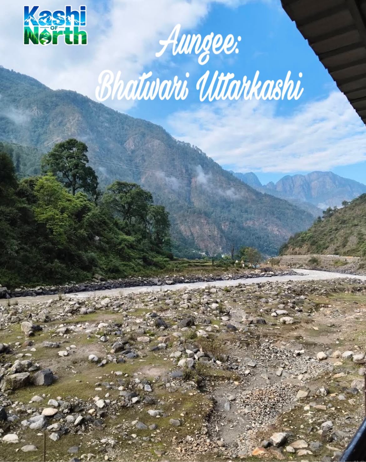
Aungee Village, Uttarkashi: A Complete Guide to This Bhatwari Block Hamlet
Tucked away in the folds of the Garhwal Himalayas, Aungee village (also spelled Aungi) is one of those quiet Uttarakhand settlements that rarely makes it onto a tourist map but holds its own quiet charm. Located in the Bhatwari block and tehsil of Uttarkashi district, Aungee sits close to Maneri and the Bhagirathi River, right along the route that eventually leads pilgrims and travelers toward Gangotri. If you’re researching the villages that dot this stretch of the Gangotri corridor, or simply curious about life in the smaller hamlets of Bhatwari block, this guide brings together everything currently on record about Aungee village.
Where is Aungee Village Located?
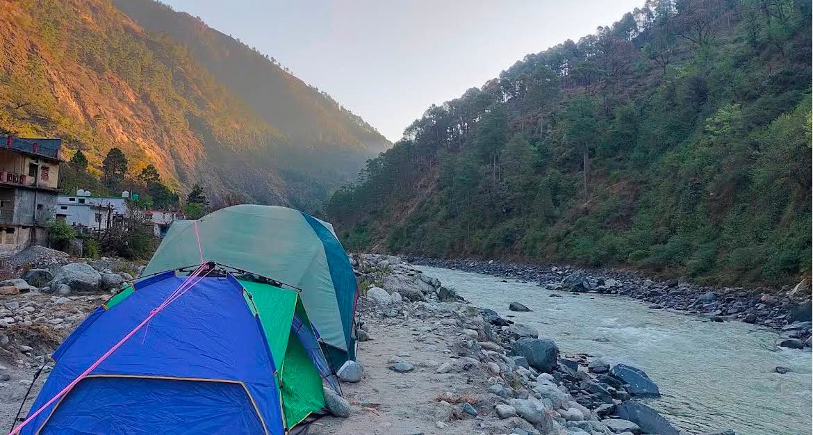
Aungee village falls under the Maneri gram panchayat, in Bhatwari block and Bhatwari tehsil of Uttarkashi district, Uttarakhand. It lies in mountainous terrain near the Maneri Bhali reservoir area, not far from the Bhagirathi River, along the broader route toward Gangotri. The village is situated roughly 11–17 km from Uttarkashi town, with the nearest statutory town being Uttarkashi itself, about 17 km away.
The village spans a modest geographical area of 104.39 hectares, making it a compact, close-knit hill settlement rather than a sprawling one.
Aungee Village at a Glance
| Detail | Information |
|---|---|
| Village Name | Aungee (also spelled Aungi) |
| District | Uttarkashi |
| Block | Bhatwari |
| Tehsil | Bhatwari |
| Gram Panchayat | Maneri |
| Nearest Statutory Town | Uttarkashi (17 km) |
| Geographical Area | 104.39 hectares |
| Total Population (2011 Census) | 302 |
| Total Households | 66 |
| Literacy Rate | ~80.08% |
Administrative Details of Aungee Village
Like most villages in this region, Aungee is governed locally through an elected village head or sarpanch under the Panchayati Raj Act, and it falls administratively under the Maneri gram panchayat. This places it within the larger Bhatwari block, one of the administrative blocks of Uttarkashi district that stretches along the Bhagirathi valley toward Gangotri.
Population and Demographics of Aungee Village
According to the 2011 Census, Aungee village is home to a total population of 302 people, spread across 66 households. Here’s a closer demographic breakdown:
| Category | Number |
|---|---|
| Total Population | 302 |
| Male Population | 162 |
| Female Population | 140 |
| Sex Ratio | 864 |
| Children (0–6 yrs) | 46 |
| Male Children | 26 |
| Female Children | 20 |
| Child Sex Ratio | 769 |
| Literacy Rate | 80.08% |
| Households | 66 |
| SC Population | 50 |
| ST Population | 0 |
The village’s sex ratio stands at 864 females per 1,000 males, which is lower than the Uttarakhand state average of 963. Similarly, the child sex ratio of 769 also trails behind the state average of 890. On the literacy front, Aungee records a rate of 80.08%, reflecting a reasonably strong educational foundation for a small hill village of its size.
Work and Employment in Aungee Village
Aungee’s economy, like much of rural Bhatwari block, leans heavily on agriculture and cultivation. Of the total population, 212 people fall into the working population category.
| Employment Category | Number |
|---|---|
| Working Population | 212 |
| Main Workers | 158 |
| Main Cultivators | 80 |
| Agricultural Labourers | 1 |
| Marginal Workers | 54 |
| Marginal Cultivators | 41 |
| Non-Working Population | 90 |
| Non-Working Males | 44 |
| Non-Working Females | 46 |
A large share of the working population is classified as main workers (those employed for more than 183 days a year), with cultivation being the dominant occupation — 80 people work as main cultivators, underlining how central farming remains to daily life in Aungee.
Education Facilities Near Aungee Village
Aungee village has access to a government primary school within the village itself. For higher levels of schooling, residents rely on nearby settlements:
| Facility | Location & Distance |
|---|---|
| Primary School (Govt.) | In Aungee village |
| Middle School | Lata, 5–10 km |
| Secondary School | Lata, 5–10 km |
| Senior Secondary School | Lata, 5–10 km |
| Arts/Science Degree College | Uttarkashi, 10+ km |
| Engineering College | Dehradun, 10+ km |
| Medical College | Dehradun, 10+ km |
| Polytechnic | Uttarkashi, 10+ km |
| Vocational/ITI | Uttarkashi, 10+ km |
For higher education, students from Aungee typically travel to Uttarkashi town or further to Dehradun, which is fairly common across the smaller villages of Bhatwari block.
Health Facilities Near Aungee Village
Basic healthcare access for Aungee village is available within a short radius:
| Facility | Distance |
|---|---|
| Community Health Centre | Under 5 km |
| Primary Health Centre | Under 5 km |
| Maternity Centre | Under 5 km |
| Allopathic Hospital | Under 5 km |
| Dispensary | Under 5 km |
| Mobile Clinic | Under 5 km |
| Family Welfare Centre | Under 5 km |
All major health facility categories are recorded as being within 5 kilometers of the village, which is a reasonably convenient distance given the hilly terrain of the region.
How to Reach Aungee Village
Aungee village is located near Maneri, along the Bhagirathi River, on the route toward Gangotri. It is approximately 11–17 km from Uttarkashi town, which serves as the nearest statutory town and the primary gateway for travelers heading further up the valley toward the Gangotri corridor.
Frequently Asked Questions About Aungee Village
1. Where is Aungee village located?
Aungee village is located in Bhatwari block and Bhatwari tehsil of Uttarkashi district, Uttarakhand, near Maneri and the Bhagirathi River, along the route to Gangotri.
2. What is the population of Aungee village?
As per the 2011 Census, Aungee village has a total population of 302 people across 66 households.
3. Which gram panchayat does Aungee village fall under?
Aungee village comes under the Maneri gram panchayat in Bhatwari block.
4. How far is Aungee village from Uttarkashi town?
Aungee village is approximately 11–17 km from Uttarkashi town, which is also the nearest statutory town.
5. What is the literacy rate of Aungee village?
Aungee village has a literacy rate of approximately 80.08%, based on 2011 Census data.
6. Is there a school in Aungee village?
Yes, Aungee village has one government primary school. For middle and secondary education, students travel to Lata, located 5–10 km away.
7. What are the main occupations of people in Aungee village?
Agriculture and cultivation form the backbone of the local economy, with 80 people recorded as main cultivators out of a total working population of 212.
8. What is the geographical area of Aungee village?
Aungee village covers a geographical area of 104.39 hectares.
9. Is Aungee village the same as “Aungi”?
Yes, Aungee is also spelled “Aungi” in some records and maps — both refer to the same village in Bhatwari block, Uttarkashi.