Tucked away in the restricted Nelong Valley of Uttarkashi district, the Janak Tal Trek is one of the most extraordinary — and least explored — trekking routes in Uttarakhand. Often referred to as the second-highest trekking route in the world, this trail offers a rare glimpse into a landscape that stayed closed to the public for decades.
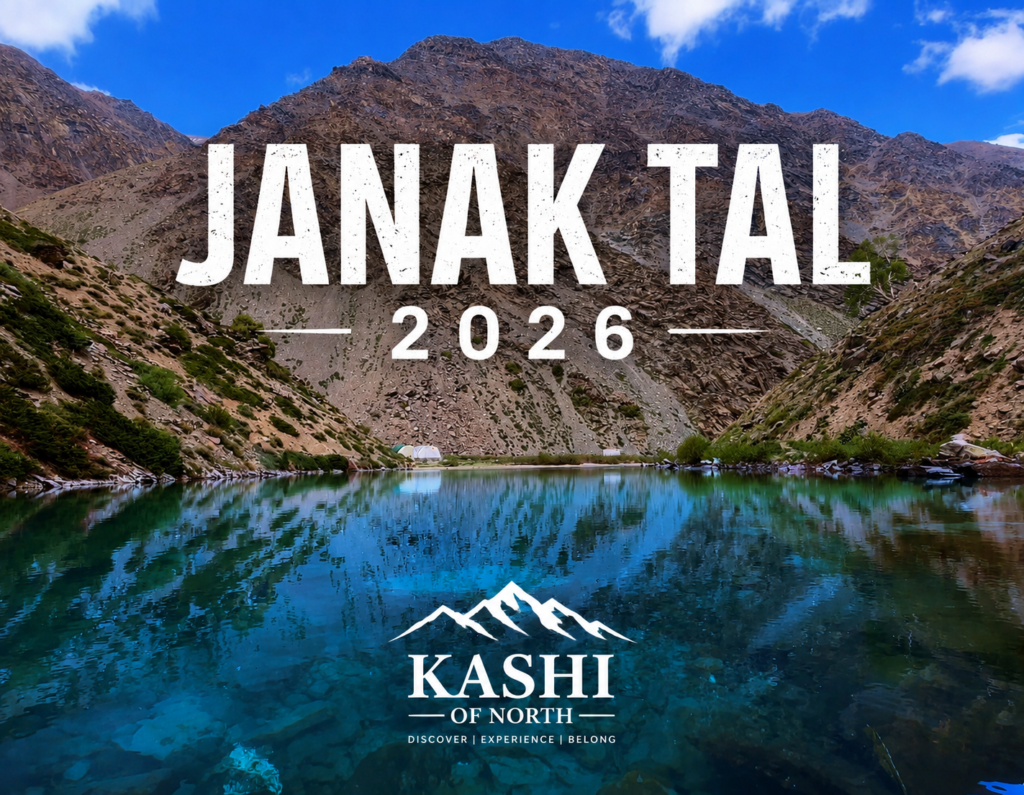
With the Janak Tal Trek in Uttarakhand welcoming tourists from 1st April, adventure seekers finally have the opportunity to experience this remote alpine lake and its dramatic high-altitude terrain. If you’ve been searching for details on the Janak Tal Nelong Jadung route or planning your visit to Janak Tal Uttarkashi, here’s everything currently known about this trek.
What Is Janak Tal?
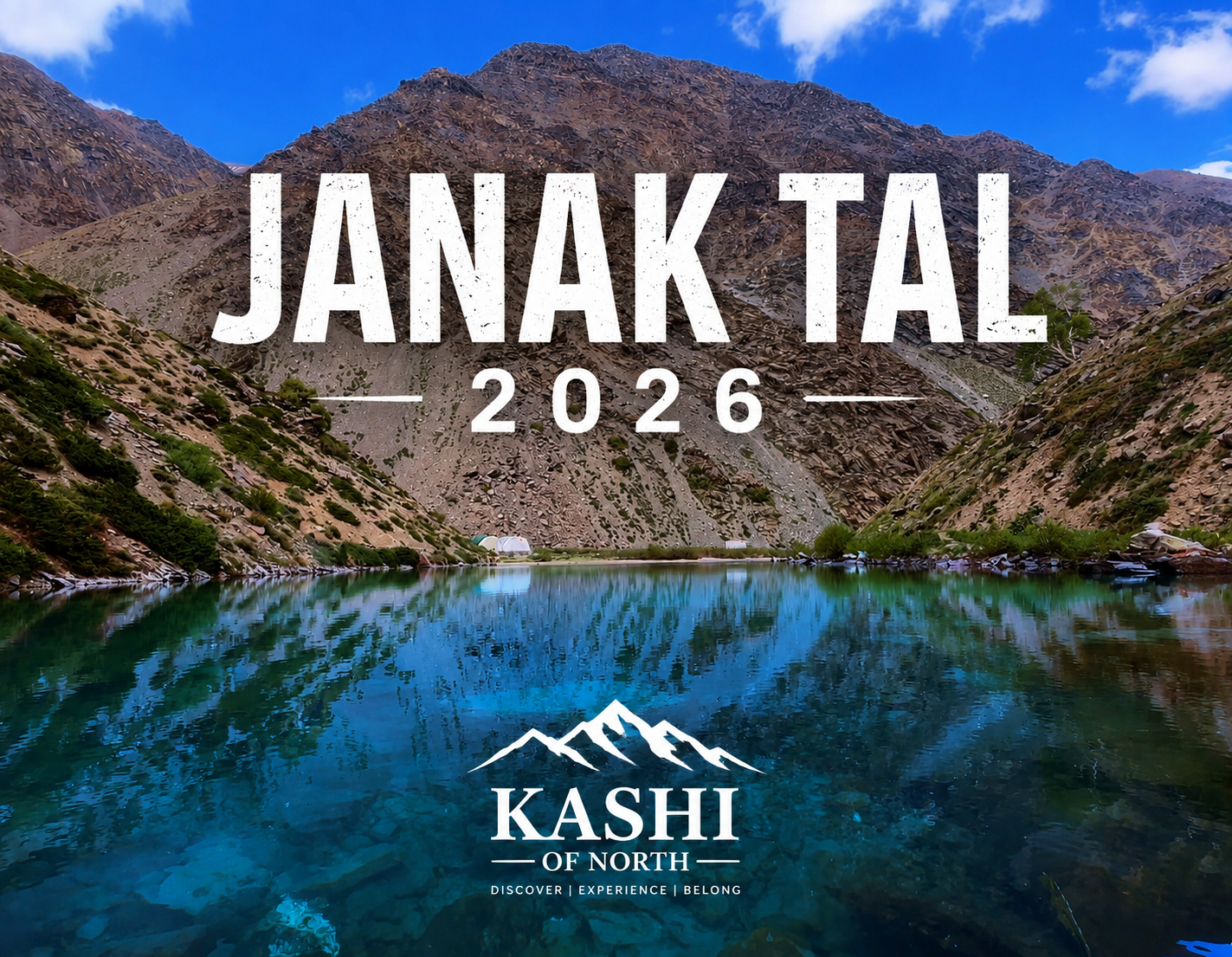
Janak Tal is a high-altitude alpine lake situated at an elevation of approximately 4,200 to 5,400 meters (13,780 to 17,716 ft), located within the restricted Nelong Valley of Uttarkashi district, Uttarakhand. The trail leading to the lake starts from Jadung village, making the route commonly referred to as the Janak Tal Nelong Jadung trek.
Because of its location near a sensitive international border, the area remains tightly controlled, adding to the trek’s mystique and appeal for serious high-altitude trekkers.
Janak Tal Trek: Quick Facts
Here’s a quick snapshot of the trek for anyone planning their trip:
- Location: Nelong Valley, near Jadung Village, Uttarkashi, Uttarakhand
- Altitude: 4,200m – 5,400m (13,780 ft – 17,716 ft)
- Trek Distance: Approx. 12 km to 22 km, depending on the starting point from the valley
- Terrain: Ladakh-like barren cold desert, steep gorges, and glacial views
This combination of altitude and terrain is what earns Janak Tal its reputation as one of the highest and most demanding trekking routes in the world.
The Nelong Valley: A Landscape Frozen in Time
The Nelong Valley, where the Janak Tal trek begins, has a unique history. The region was closed off following the 1962 war and remained largely inaccessible for decades. In recent years, however, it has been seeing renewed eco-tourism and trekking initiatives as part of border village development plans — opening up this remote, Ladakh-like cold desert landscape to trekkers once again.
The terrain here is markedly different from the greener treks Uttarakhand is typically known for — think barren mountains, steep gorges, and sweeping glacial views, giving the Janak Tal Trek a character closer to the high-altitude landscapes of Ladakh than the forested trails of Garhwal.
Access and Permits for the Janak Tal Trek
Because Janak Tal lies in a restricted, border-adjacent area, trekking here isn’t as simple as booking a regular Himalayan trek. Here’s what you need to know:
| Book Hotels/Homestays Near Nelong Valley | Book Now → |
| Contact via Instagram | Message us on Instagram → |
| Contact via Call | +91 7060359523 |
Let Kashi of North handle your stay, permits, and trek planning — all in one place.
Restricted Area Status
The region was closed after the 1962 war, and while parts of it are now opening up under border village development and eco-tourism initiatives, access is still carefully regulated.
Permissions Required
Trekkers need special inner-line permits, which involve clearance from:
- The district administration in Uttarkashi
- The forest department (Gangotri National Park)
- Clearance associated with the Indo-Tibetan Border Police (ITBP)
Given these requirements, it’s essential to plan well in advance and coordinate permits before finalizing your travel dates.
Best Time to Visit
The Janak Tal Trek in Uttarakhand welcomes tourists from 1st April, marking the start of the trekking season for this high-altitude route. Given the extreme altitude and remote terrain, planning your visit around the official opening window is important for both safety and permit approval.

Frequently Asked Questions (FAQs)
1. Where is Janak Tal located? Janak Tal is located in the Nelong Valley, near Jadung Village, in the Uttarkashi district of Uttarakhand.
2. How high is the Janak Tal Trek? The trek ranges in altitude from approximately 4,200m to 5,400m (13,780 ft to 17,716 ft), which is why it’s often called the second-highest trekking route in the world.
3. What is the trek distance for Janak Tal? The trek distance is approximately 12 km to 22 km, depending on your starting point within the valley.
4. Do I need permits for the Janak Tal Trek? Yes. Since the region is a restricted, border-adjacent area, you need special inner-line permits from the district administration, the forest department (Gangotri National Park), and clearance associated with the ITBP.
5. When does the Janak Tal Trek open for tourists? The trek officially welcomes tourists from 1st April each year.
6. What does the terrain look like on the Janak Tal Trek? The terrain resembles a Ladakh-like barren cold desert, featuring steep gorges and glacial views — quite different from Uttarakhand’s typically forested trekking trails.
Conclusion
The Janak Tal Trek is a rare opportunity to explore one of the highest and most remote trekking routes in the world, set within the historically restricted Nelong Valley near Jadung village in Uttarkashi. With permits now more accessible thanks to renewed eco-tourism initiatives, and the trekking season officially opening from 1st April, this is the moment for serious trekkers to experience the stark, high-altitude beauty of Janak Tal Uttarkashi.
If you’re planning your trip, make sure to start your permit process early — this is one trek where preparation is just as important as the adventure itself.