
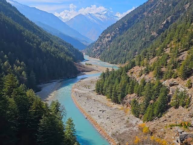
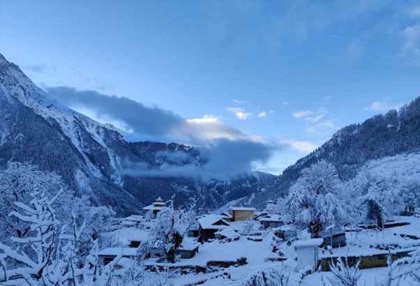
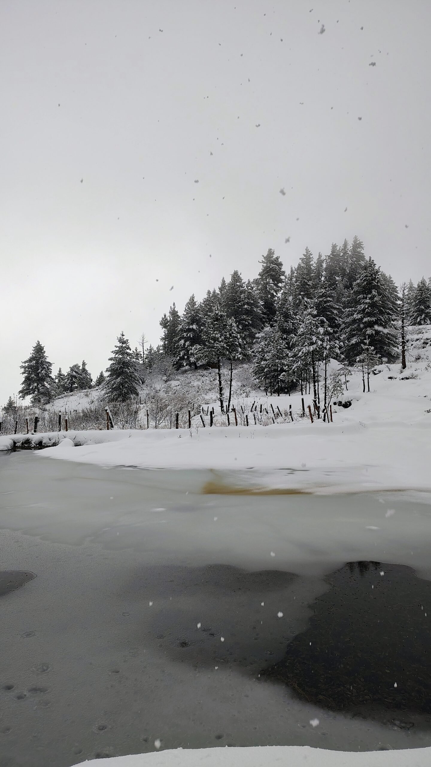

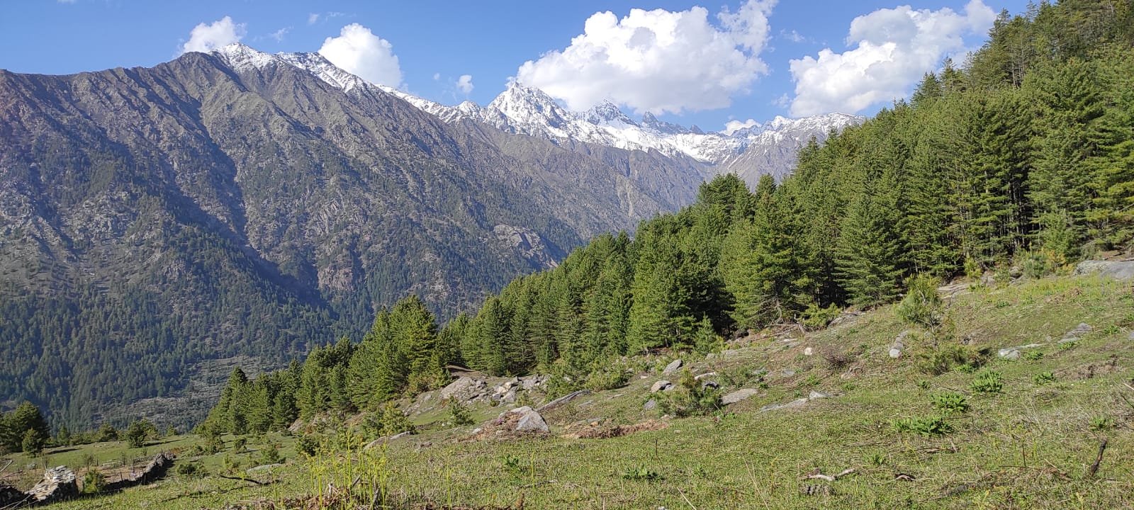
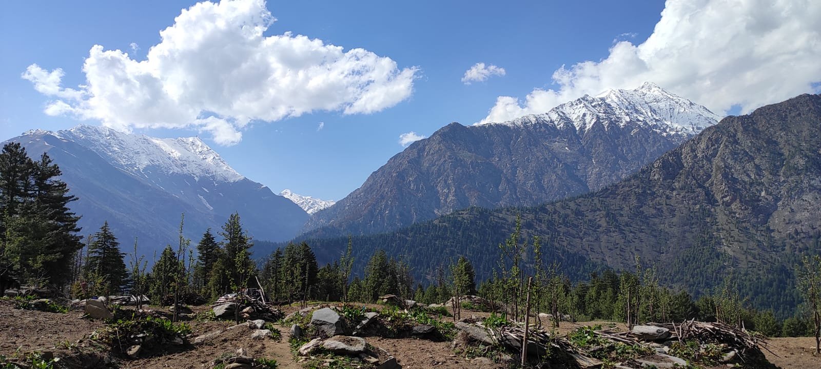
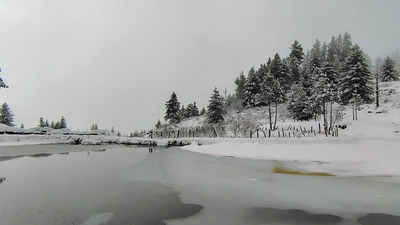

Harsil is a Himalayan valley in the Uttarkashi district of Uttarakhand, sitting at roughly 2,620 meters on the banks of the Bhagirathi river, just 25 kilometers before Gangotri Dham. Harsil Uttarakhand is actually a cluster of eight villages — Sukki, Mukhba, Harsil, Bagori, Dharali, Jhala, Jaspur, and Purali — known for apple orchards, riverside meadows, Bandarpunch and Srikanth peak views, and a rare mix of Hindu, Buddhist, and Jadh Bhotia culture. Most Char Dham travelers drive straight past it on the way to Gangotri, which is exactly why it has stayed this quiet.
This guide covers everything — history, villages, treks, weather by month, photography spots, and 26 answered questions — so you can decide how many days Harsil Uttarkashi actually deserves on your itinerary (spoiler: more than a lunch stop).
Where Is Harsil?
Harsil sits in a broad, unusually flat stretch of the Bhagirathi river valley at approximately 2,620 meters, in Uttarkashi district, Uttarakhand, about 25 km before Gangotri Dham and roughly 216 km from Dehradun.
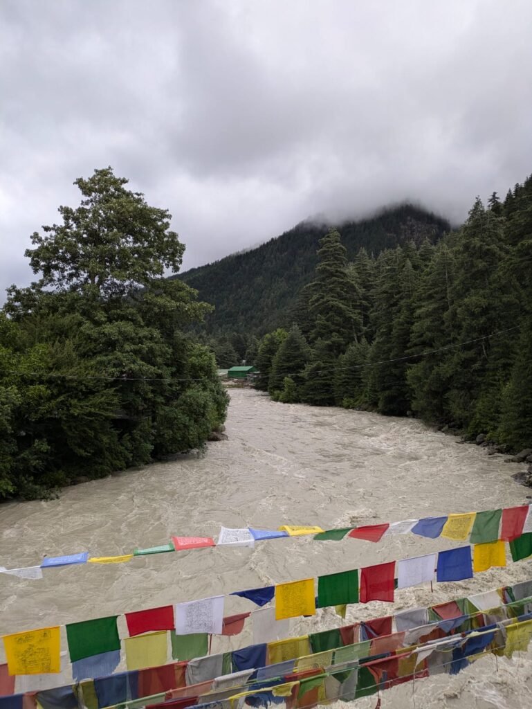
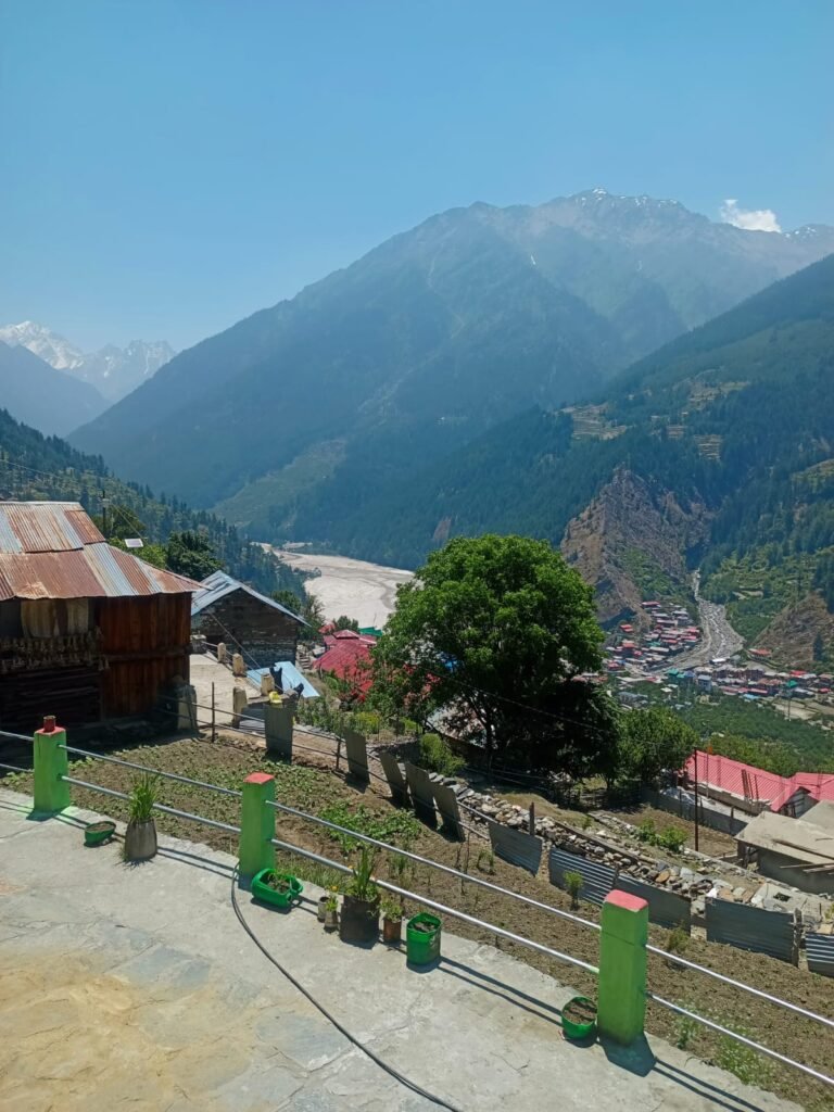
The valley itself is a cluster of eight villages spread along the river — Sukki, Mukhba, Harsil, Bagori, Dharali, Jhala, Jaspur, and Purali — each with its own character but all sharing the same backdrop of Bandarpunch and Srikanth peaks. There’s a moment on the Uttarkashi-to-Gangotri drive when the narrow gorge suddenly opens into this flat green meadow, the river widens over polished boulders, and apple orchards climb the slopes in orderly rows. That’s Harsil announcing itself.
Why Visit Harsil?
Harsil doesn’t have a single headline attraction, and that’s precisely its appeal. Even during the May–June Char Dham peak season, visitor numbers here are a fraction of Gangotri’s, so you can walk the riverbank alone at sunrise — something genuinely rare at this altitude anywhere in Uttarakhand.
The scenery holds its own against anywhere in the Garhwal Himalaya. The Bhagirathi runs wide and fast here, framed by Jaonli (6,632 m), the Gangotri peak group, and the Satling massif. In August and September, the apple orchards turn into a working agricultural landscape of real beauty — heavy-laden branches with snow peaks visible at the end of every row.
There’s also no artificial pace here. No queue, no scheduled stop. The rhythm of the valley — morning light, river sound, the shadow line moving across the peaks by afternoon — sets its own agenda, and most visitors find that unexpectedly restorative.
Most travelers rush past Harsil on the way to Gangotri and never realize it deserves days, not minutes. Kashi of North designs customized Harsil Valley itineraries — treks, homestays, local transport, and permits — built around how much time you actually give this valley.
History of Harsil Valley
Harsil’s history moves through three distinct chapters: an ancient trade relationship with Tibet, a 19th-century transformation by a British timber trader who introduced apple farming, and a post-1962 border shift that reshaped who lives where in the valley today.
Origin of the Name
Local legend holds that the rivers Bhagirathi and Jalandhari once quarreled over which was more significant. Lord Vishnu intervened by transforming himself into a shila (rock) to absorb their turbulence and calm the waters — combining Hari (Vishnu) and Shila (rock) into “Harsil.”
Harsil’s Ties to Tibet
For generations, Harsil maintained close trade and marriage ties with Tibet through routes running further up the valley. That changed after the 1962 India-China war. For safety, the native Jadh Bhotiya community of Nelong Valley was relocated to Bagori village, where many of their descendants still live. Nelong Valley itself stayed closed to the public until it reopened for Indian citizens in 2015, and an inner-line permit is still required to visit. Foreign nationals are not permitted into Nelong, and camping there is prohibited.
The Apple Legacy of Pahadi Wilson
Harsil’s apple economy traces back to Frederick Wilson, a British India Company employee who visited the valley in the mid-19th century, fell for it, left his job, and settled here permanently. Locals called him “Pahadi Wilson” or “Raja Wilson.” He introduced apple cultivation and cash crops like rajma, laying the groundwork for what remains the valley’s economic backbone today. His timber operation also floated logs down the Bhagirathi as a transport route — a practice that permanently altered the river’s course in some downstream sections.
Wilson Cottage, a short walk from Harsil village, still stands in partial preservation. It’s a simple structure, but the setting — river below, peaks above — explains why he never left.
Geography and Altitude
Harsil sits at approximately 2,620 meters in an unusually flat section of the Bhagirathi valley, formed by glacial sediment deposition over thousands of years. This flatness is rare at this elevation in the Garhwal Himalaya and is a big part of why the valley feels so open compared to the narrow gorge roads leading to it.
Climate and Weather Overview
Harsil experiences a full range of Himalayan seasons — mild summers, a wet monsoon with landslide risk, a crisp and clear autumn, and a genuinely cold, snow-heavy winter. Because it sits in a partial rain shadow created by surrounding ridges, Harsil actually receives less rainfall and enjoys more clear days per year than comparable-altitude destinations like Kedarnath or Chamoli.
Best Time to Visit Harsil
Autumn (September to November) is widely considered the best time to visit Harsil, combining the apple harvest, the clearest mountain views of the year, and cool, comfortable temperatures — though each season here has a genuinely different personality.
Spring (March–April): Awakening Valley
Snow retreats from the lower slopes and the valley shifts from white to fresh green. Rhododendrons bloom on the ridges, and the Bhagirathi runs high with snowmelt. Fewer visitors, excellent light, but some roads may still be affected by rockfall and limited accommodation is open.
Summer (May–June): Peak Season
Mild weather, full-leaf orchards, open trekking routes, and the Gangotri temple open for pilgrimage — making Harsil an excellent lower-altitude base. This is the busiest period, though “busy” here is still modest by hill-station standards elsewhere.
Monsoon (July–August): The Green Secret
Heavy rainfall across the wider Garhwal region can affect the Uttarkashi–Harsil road with landslides. When accessible, though, monsoon Harsil is startlingly green, with waterfalls appearing on cliff faces and very few tourists around.
Autumn (September–November): The Best Season
The monsoon clears by mid-September, leaving intensely blue skies. The apple harvest peaks in September–October, and the combination of golden apples, turning leaves, and fresh snow on the high peaks is genuinely striking. Note that the Gangotri temple closes in October–November, so plan combined visits accordingly.
Winter (December–February): Snow Season
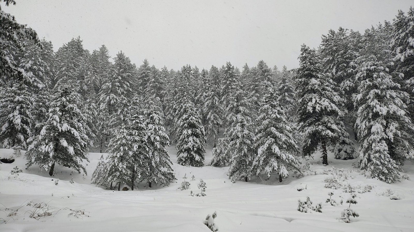
Significant snowfall, night temperatures well below freezing (-10°C and colder in January), and the road from Uttarkashi can close for extended stretches. Tourist infrastructure largely shuts down, though winter Harsil — for those equipped and flexible — is extraordinary.
| Season | Months | Best For | Watch Out For |
|---|---|---|---|
| Spring | March–April | Photography, solitude | Residual snow on roads |
| Summer | May–June | Families, Gangotri combo | Weekend crowds |
| Monsoon | July–August | Green landscapes, budget stays | Landslides |
| Autumn | September–November | Apple harvest, best views | Gangotri closes late Oct/Nov |
| Winter | December–February | Snow photography | Road closures, extreme cold |
Deciding between seasons for your trip? Kashi of North can confirm real-time road and accommodation conditions before you commit dates — call or WhatsApp +91 7253079221.
Apple Orchards of Harsil
Between August and October, Harsil’s apple orchards are one of the finest sensory experiences the valley offers — rows of heavily laden trees, the smell of ripe fruit in cold mountain air, and snow peaks visible past every row. The valley grows several varieties including Golden Delicious, Royal Delicious, and Red Delicious, alongside the prized heritage Maharaji apple — a deep red, complex-flavored variety not commercially grown outside this region.
Many orchard owners will let respectful visitors walk among the trees if you ask first at your guesthouse for an introduction. Picking fruit without explicit permission isn’t acceptable — these are working farms, not public parks.

Religious Significance and Mukhba Village
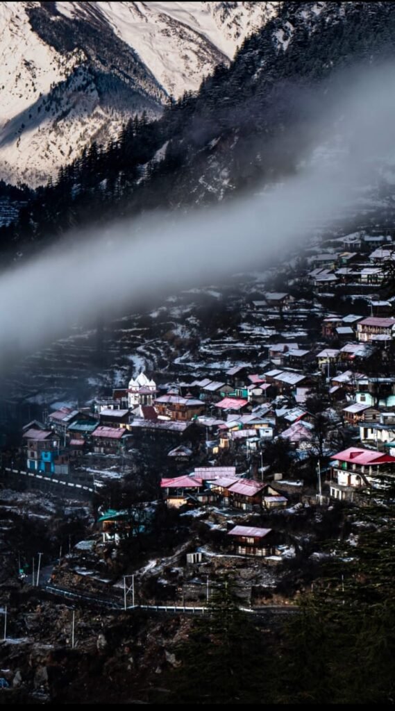
Mukhba, roughly 8 km from Harsil, is known locally as Maa Ganga’s Mayka (maternal home) — it’s the winter seat of the Gangotri deity. When winter closes the Gangotri temple, the idol of Goddess Ganga is carried down in a palanquin to Mukhba, where villagers perform rituals through the cold months. A newer concrete temple now stands alongside the original wooden shrine; ask the temple priest and they may open the old structure for you to see.

Villages Around Harsil
Dharali
About 6 km from Harsil, Dharali sits at a slightly lower elevation with a warmer microclimate and its own apple orchards. Update: In August 2025, most of Dharali village was destroyed, and only one section remains standing; the Kalp Kedar Temple has been buried under mud and debris. Travelers should check current conditions before planning a stop here.
Bagori
Roughly 8 km from Harsil, Bagori is home to the relocated Jadh Bhotiya community and blends Hindu and Buddhist traditions side by side — the temple of local deity Laal Devta sits near Buddhist monasteries. The village has around 150 houses, each with its own apple and apricot orchard. Note that villagers largely relocate to Dunda for winter, so Bagori empties out from roughly December through May.
Mukhba
Described above — the winter home of Goddess Ganga and ancestral village of the Semwal priests who serve the Gangotri temple.
Sukki (Sukkhi Top)
About 5–6 km before Harsil on the approach road, Sukkhi Top is the highest point in the valley, offering a view of the ridge between Sian Gad and Jalandhari Gad, and a glimpse of a glacier flowing from the Lamkhaga side.
Jhala
A quieter village downstream from Harsil with strong river-gorge views, less visited than the main cluster and worth a short detour for photographers.
Places to Visit in Harsil Valley
| Place | Distance from Harsil | Time Required | Best Time |
|---|---|---|---|
| Gartang Gali | ~2 km | 1–2 hours | September–November |
| Wilson Cottage | ~1 km | 1–2 hours | Year-round |
| Bagori Village | ~8 km | Half day | Avoid winter (village empties) |
| Mukhba Village | ~8 km | Half day | Year-round |
| Dharali | ~6 km | Half day | Check current status post-2025 |
| Gangotri Temple | ~25 km | Full day | May–June, September–October |
| Gangnani Hot Spring | ~30 km | 2–3 hours | Year-round |
| Nelong Valley | Permit zone | Full day | Summer/autumn, permit required |
Gartang Gali
A wooden sidewalk bridge suspended above the Jadh Ganga river, once part of the Indo-Tibet salt trade route. It’s a genuine feat of local engineering and one of the more striking man-made structures in the district.
Laxmi Narayan Temple
A small temple in Harsil village tied to the same Vishnu-and-rock mythology that gives the valley its name — local lore connects it to the Jalandhar-Brinda legend that later echoes in the Ramayana through Ram and Sita.
Wilson Cottage
The partially preserved home of Frederick “Pahadi” Wilson, set with the Bhagirathi below and the peaks above — a short, worthwhile walk into local colonial-era history.
Gangnani Hot Spring
A natural sulphur hot spring dedicated to Rishi Parashar, roughly 30–31 km from Harsil, where pilgrims traditionally bathe before continuing to Gangotri.
Planning to cover Gartang Gali, Mukhba, and Gangotri in one trip? Kashi of North arranges private taxis and local guides so you’re not renegotiating transport at every stop.
Nearby Destinations Worth Exploring
Gangotri Temple (25 km, 45–60 minutes) — One of the four Char Dhams, sitting at 3,415 meters on the Bhagirathi’s banks. The evening aarti here is among the finest religious experiences in the Himalaya, and Harsil makes a more comfortable, lower-altitude base than staying in the temple town itself.
Gaumukh Trek (via Gangotri, then a 19 km trek) — The glacier source of the Bhagirathi at 4,023 meters. Best approached by spending a night at Gangotri to acclimatize before starting the trek.
Kedartal Trek (starting near Uttarkashi, ~72 km from Harsil) — A strenuous multi-day trek to a glacial lake beneath Thalay Sagar’s north face.
Dayara Bugyal (~110 km from Harsil via Uttarkashi) — Uttarakhand’s most accessible high-alpine meadow, wildflower-carpeted in summer and a natural snow slope in winter.
Hidden Gems Around Harsil
The Downstream River Walk: Two to three kilometers downstream from Harsil along the Bhagirathi’s less-used eastern bank (crossed via a footbridge near the village) leads to a quieter, wilder stretch of river — excellent for birds and solitude.
The Deodar Forest Walk: A trail through old-growth Himalayan cedar above the apple orchards, barely marked on any map. Ask locally for directions; the forest scale here is genuinely cathedral-like.
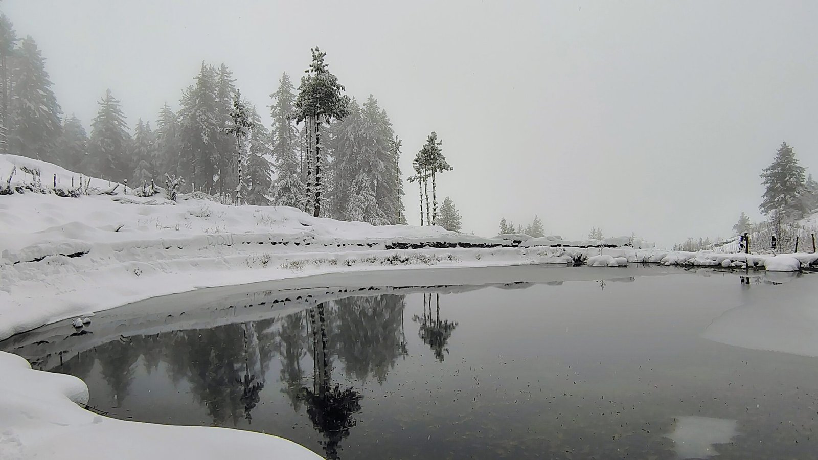
Sattal: A cluster of small forest ponds above Harsil, roughly a 2-hour return walk through rhododendron and oak forest, best visited in April when the rhododendrons bloom.
Traditional Granaries: Look for the stone-and-timber grain stores (kothars) raised on stone stilts in the older sections of Harsil and neighboring villages — an increasingly rare piece of vernacular mountain architecture.
Pre-Dawn River Mist: Arrive at the riverbank 30 minutes before sunrise on a cold October morning to watch mist rise off the Bhagirathi as first light hits the peaks. Very few visitors bother to get up for it.
Things to Do in Harsil
- Walk through the apple orchards (August–October) with permission from the landowner
- Spend time on the Bhagirathi riverbank, particularly the quieter stretch 1–2 km downstream from the main road
- Camp under the stars on the gravel bars in the dry post-monsoon season, where the Milky Way is visible with zero light pollution
- Bird watching, peaking in April–May and September–October
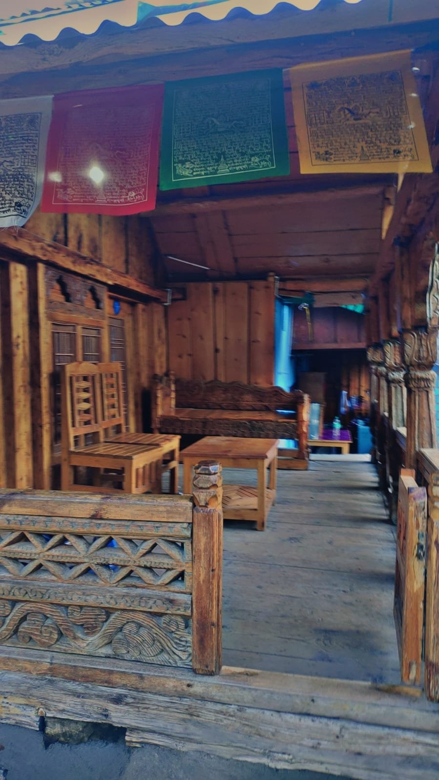
- Explore the village architecture — stone-and-timber homes with carved wooden panels
- Visit Wilson Cottage
- Take short nature walks through the deodar forest above the orchards
- Meditate by the river — several quiet dharamshalas in the valley cater to travelers seeking silence rather than sightseeing
Treks Near Harsil
| Trek | Distance | Difficulty | Duration | Guide/Permit |
|---|---|---|---|---|
| Sattal Trek | ~3 km from Dharali | Easy–Moderate | Half day | Recommended |
| Lama Top Trek | 5–6 km round trip | Moderate | 3–4 hours | Recommended |
| Gaumukh Tapovan | ~19 km one-way from Gangotri | Moderate | 2–3 days | Mandatory (forest permit) |
| Kedartal Trek | ~72 km approach from Harsil | Difficult | 4–5 days | Mandatory |
| Dayara Bugyal | ~110 km approach | Easy–Moderate | 1–2 days | Recommended |
| Kyakoti Trek | Varies | Moderate | 1–2 days | Recommended |
| Bandarpunch Basecamp | Varies | Difficult | Multi-day | Mandatory |
| Dhumdar Kandi Pass | Varies | Difficult | Multi-day | Mandatory |
Sattal Trek climbs steeply from Dharali village to a cluster of seven glacier-fed lakes and the local Vishwanath Temple — visit in spring, since lakes can be frozen in winter or low in summer.
Lama Top Trek starts from Bagori or Dharali village and climbs to a Buddhist-sacred summit, popular with birdwatchers hoping to spot Snow Sparrow, Alpine Chough, and Russet Sparrow along the way. A tree trunk at the top, studded with coins left by visitors, is a small local tradition tied to prayers for prosperity.
Additional routes worth knowing about include Horns of Harsil Basecamp, Jhinda Bugyal, Srikanth Basecamp, Awana Bugyal, and Bamsaru Pass Trek.
Want a guided trek with permits and camping already arranged? Kashi of North offers customized Harsil Valley trekking packages with local guides built in — call or WhatsApp +91 7253079221.
Wildlife and Birdlife
The forest and river corridor around Harsil supports rich birdlife year-round, peaking during spring and autumn migration windows. Regular sightings include the Himalayan monal (Uttarakhand’s state bird), Kalij pheasant, Himalayan griffon vulture, lammergeier (bearded vulture), and various redstarts and laughing thrushes. In the higher forest above the valley, musk deer, Himalayan tahr, and occasionally Himalayan black bear are present, with snow leopard sightings rare but recorded in the upper ranges.
Rivers of Harsil Valley
The Bhagirathi River runs through the center of the valley, wide and fast, over a bed of granite among the oldest exposed rock in the Garhwal Himalaya. The Jalandhari Gad and other smaller streams feed into it from side valleys, and it’s this same river system that continues downstream to form part of the Ganga.
Local Food
Food in Harsil Valley is largely vegetarian, built around Garhwali staples — aloo ke gutke, mandua ki roti, kafuli, and dal bhat. Local specialties worth trying include white rajma, sisunaak saag, pahadi raita, gehat daal, chainsoo, and kappa. Fresh apples, local honey, and dried apricots are excellent things to buy directly from farmers rather than shops.
Where to Stay
Harsil has a small but growing range of guesthouses and homestays, with more comfortable options generally found in Harsil and Dharali, and simpler stays in Bagori and Mukhba. Riverside camping is available seasonally through local operators.
| Stay Type | Best For | Where |
|---|---|---|
| Guesthouses/hotels | Comfort, families | Harsil village, Dharali |
| Homestays | Cultural immersion | Bagori, Mukhba |
| Riverside camping | Trekkers, stargazers | Harsil gravel bars (post-monsoon/summer) |
| Dharamshalas | Meditation, budget travel | Harsil, Gangnani |
Booking a reliable stay in a village this small can be tricky without local contacts. Kashi of North handles hotel, homestay, and camping bookings across Harsil, Bagori, and Dharali — WhatsApp +91 7253079221.
How to Reach Harsil
Harsil is well connected to Dehradun, Rishikesh, and Uttarkashi by road, but there is no direct train or flight — most travelers route through Delhi first.
By Air
The nearest airport is Jolly Grant Airport, Dehradun, roughly 232 km away. Fly directly to Dehradun where possible, or connect via Delhi.
By Train
The nearest railway stations are Haridwar, Rishikesh, and Dehradun. Convenient options from Delhi include the Dehradun Shatabdi Express (~6 hrs 10 min), the Jan Shatabdi (~5 hrs 50 min), and weekly services like the Kochuveli Yog Nagri Rishikesh Express and the Ujjaini Express. It’s worth avoiding the Mussoorie Express due to frequent delays.
By Road/Bus
From Delhi’s Kashmiri Gate, Anand Vihar, or Sarai Kale Khan bus terminals, buses run to Dehradun, Haridwar, or Rishikesh, from where you continue toward Uttarkashi and Harsil. Seasonal Char Dham buses from Dehradun and Rishikesh to Gangotri also pass through Harsil.
Dehradun to Harsil (216 km)
Take an early morning state transport bus from Dehradun Hill Bus Station to Uttarkashi, then a shared taxi onward to Harsil. A Tempo Traveller or private car on hire is a more comfortable option for families and groups making the full journey in one go.
| Mode | From | Approx. Time |
|---|---|---|
| Road (bus/taxi) | Dehradun | 7–8 hours |
| Road (bus/taxi) | Rishikesh | 8–9 hours |
| Train + Road | Delhi via Dehradun | 13–15 hours total |
| Flight + Road | Delhi via Jolly Grant | 9–10 hours total |
Don’t want to manage bus transfers and shared taxis with luggage? Kashi of North arranges private taxis and Tempo Travellers direct from Dehradun, Rishikesh, or Uttarkashi to Harsil — call or WhatsApp +91 7253079221.
Month-by-Month Weather Guide
| Month | Day Temp | Night Temp | Rain/Snow | Roads | Recommended Activity |
|---|---|---|---|---|---|
| January | 2°C to 8°C | -10°C to -2°C | Heavy snow | Frequently closed | Snow photography (experienced only) |
| February | 3°C to 10°C | -8°C to 0°C | Snow tapering | Improving | Snow photography |
| March | 8°C to 16°C | -2°C to 5°C | Light rain/residual snow | Good, some rockfall risk | Early spring travel |
| April | 12°C to 20°C | 2°C to 8°C | Occasional rain | Good | Rhododendrons, photography |
| May | 15°C to 24°C | 5°C to 12°C | Light pre-monsoon showers | Good | Full-season travel begins |
| June | 16°C to 26°C | 8°C to 14°C | Occasional showers | Good | Gangotri combo trips |
| July | 15°C to 24°C | 8°C to 13°C | Heavy monsoon rain | Landslide risk | Avoid unless flexible |
| August | 15°C to 23°C | 8°C to 12°C | Heavy monsoon rain | Landslide risk | Apple orchard visits (light rain days) |
| September | 12°C to 20°C | 4°C to 10°C | Clearing | Good | Apple harvest begins |
| October | 8°C to 18°C | 0°C to 6°C | Minimal | Good | Best photography month |
| November | 3°C to 14°C | -4°C to 2°C | Minimal | Good, colder nights | Late-season visits |
| December | 0°C to 10°C | -8°C to -2°C | Snow onset | Deteriorating | Winter arrival photography |
Suggested Itineraries
1 Day: Uttarkashi to Harsil, riverside walk, Wilson Cottage, apple orchard visit (seasonal), return to Uttarkashi or continue to Gangotri.
2 Days: Day 1 — Arrive Harsil, riverside evening, village walk. Day 2 — Bagori and Mukhba villages, Gartang Gali, overnight before departure.
3 Days: Day 1 — Arrive Harsil, settle in, riverside sunset. Day 2 — Gangotri day trip with evening aarti. Day 3 — Lama Top or Sattal short trek, apple orchard time, departure.
5 Days: Day 1 — Arrive Harsil. Day 2 — Gangotri and Gaumukh acclimatization stop. Day 3 — Gaumukh Tapovan trek day. Day 4 — Return to Harsil, Bagori/Mukhba villages, Gartang Gali. Day 5 — Leisure morning by the river, departure.
Want this built around your actual dates and group size? Kashi of North puts together custom Harsil itineraries with hotels, guides, and transport already confirmed.
Photography Guide
Harsil ranks among Uttarakhand’s finest photography locations, with the river-valley-orchard-peak combination changing dramatically by season and time of day.
Best sunrise points: Lama Top ridge (1.5–2 hours climb before dawn), the downstream Bhagirathi riverbank, and the view looking down the valley from above the highest orchard row.
Best sunset points: The Wilson Cottage area, looking upstream toward Gangotri as peaks catch alpenglow, and the road bridge over the Bhagirathi between Harsil and Mukhba.
Autumn (September–October) is peak photography season — apple harvest portraits, turning birch and maple color, and the clearest mountain detail of the year.
Camera tips: Use a UV filter at altitude to reduce haze, carry spare batteries in an inside pocket in cold weather, and experiment with shutter speed on the Bhagirathi — fast (1/1000s+) for sharp, dramatic water, slow with a tripod (1/4s or slower) for a silky effect.
Drone regulations: Harsil sits close to sensitive military zones near the Line of Actual Control. Drone flying requires explicit clearance from civil aviation, forest, and potentially army authorities — do not fly without verifying current permissions, as penalties for violation are severe.
Shopping Guide
- Fresh apples (August–October), including the heritage Maharaji variety, sold directly by farmers
- Local rajma, a smaller, more flavorful variety distinct from commercial rajma
- Mountain honey, collected by local beekeepers
- Hand-knitted woolens — socks, caps, scarves made by local women
- Dried apricots and walnuts from the valley
Practical Travel Information
Mobile network: BSNL is the most reliable carrier in the valley; Jio and Airtel coverage is patchy and mostly limited to the main road.
ATMs: None in Harsil. The nearest ATMs are in Uttarkashi, roughly 72 km away — withdraw cash before heading up.
Fuel: Fill up completely at Uttarkashi. Fuel availability in Harsil is unreliable; ask at guesthouses if you’re running low.
Medical facilities: The nearest hospital with meaningful capability is in Uttarkashi, roughly 2.5–3 hours away. Carry a comprehensive personal first-aid kit and enough personal medication for your stay plus a few extra days.
Altitude: At 2,620 m, mild altitude symptoms are possible for those arriving quickly from lower elevations. Rest, hydrate, and avoid strenuous activity or alcohol on your first day.
Permits: No permit is needed for Harsil, Bagori, Mukhba, Dharali, or Gangotri. Nelong Valley requires an inner-line permit from the SDM office in Uttarkashi and is closed to foreign nationals.
Packing List
- Layered clothing appropriate to season (see month-by-month table)
- Down jacket for autumn and winter visits
- Sturdy, ankle-supporting trekking shoes
- Rain protection for monsoon travel
- Sunscreen SPF 50+ and UV sunglasses
- Torch or headlamp
- Reusable water bottle
- Sufficient cash (no ATM in Harsil)
- Personal first-aid kit and medications
Emergency Contacts
| Service | Contact |
|---|---|
| Emergency (Police/Medical) | 112 |
| Uttarakhand Tourist Helpline | 1364 / 1070 |
| Nearest Hospital | Uttarkashi District Hospital (~72 km) |
| Kashi of North Travel Assistance | +91 7253079221 |
Responsible Tourism
The apple orchards here are working farms, not public parks — don’t enter or pick fruit without explicit permission. Carry out all non-biodegradable waste, since there’s no municipal collection in the valley. Buy directly from local farmers and stay at locally run guesthouses and homestays, since that’s where tourism revenue actually stays in the community. Avoid disturbing wildlife or lighting fires in the forest, and photograph people only with their consent — the villages here are homes, not photo backdrops.
Festivals of Harsil Valley
Apple Festival, started in 2018, celebrates the valley’s Golden Delicious, Royal Delicious, and Red Delicious apples along with local jams, juices, and apple cider vinegar — a direct way to support local farmers.
Losar Festival, the Tibetan New Year, is a three-day celebration among the Jadh Bhotia community involving torch-lighting, offerings for good harvests, and traditional dance in Kolak attire, honoring the protector deity Ringali Devi.
Interesting Facts About Harsil
- The Maharaji apple, grown specifically in Harsil valley, is a heritage variety not commercially cultivated anywhere else.
- Harsil sits in a rare flat section of the Bhagirathi valley, formed by glacial sediment over thousands of years.
- Some deodar cedar trees in the forest above Harsil are estimated to be over 300 years old.
- Wilson’s timber-floating operation permanently altered the Bhagirathi’s course in some downstream sections.
- Foreign nationals need no permit for Harsil itself, but Nelong Valley beyond it requires an inner-line permit and is closed to foreigners entirely.
- Harsil sits in a partial rain shadow, giving it more clear days per year than comparable altitudes in Kedarnath or Chamoli.
- The lammergeier (bearded vulture), one of the world’s largest flying birds, is resident in the mountains above Harsil.
- Traditional Garhwali houses here use a construction technique called koti banal — interlocking cedar timber bands within stone walls — that provides notable earthquake resistance.
- Apple trees in Harsil flower in April and May, a brief blossom season almost unknown to visitors who arrive in peak summer months.
Conclusion
Harsil takes its time revealing itself. On day one, you notice the obvious — the river, the peaks, the orchards, the silence. By day two, you start noticing the finer details — how the light moves across the valley through the day, the smell of ripe apples in the afternoon, the sound of the Bhagirathi at 3 a.m. when the rest of the valley is completely still. By day three, it starts to make sense why Frederick Wilson came here and simply never left.
Travel responsibly here — buy from local farmers, stay at locally run guesthouses, carry out what you carry in, and treat the villages as homes rather than backdrops. And use Harsil as a base for the wider valley too: Gangotri is 25 km up the road, Mukhba and Bagori are twenty minutes away and almost never visited, and the Char Dham circuit itself runs straight through here.
Ready to plan your Harsil Valley trip? Kashi of North handles hotel and homestay bookings across Harsil, Bagori, Dharali, and Mukhba, private taxis and Tempo Traveller transport, trek guides and permits (including Nelong Valley inner-line permits), and complete Gangotri and Char Dham–linked itineraries.
📞 Call/WhatsApp: +91 7253079221 📧 Email: kashiofnorth@gmail.com 🌐 Website: kashiofnorth.com
Frequently Asked Questions
1. What is Harsil famous for? Harsil is famous for its Himalayan scenery, the Bhagirathi river, apple orchards (particularly the heritage Maharaji variety), and its peaceful, uncrowded character. It’s also where 19th-century figure Frederick “Pahadi Wilson” settled and pioneered apple cultivation.
2. What is the altitude of Harsil? Harsil sits at approximately 2,620 meters (8,596 feet) above sea level.
3. What is the best time to visit Harsil? September to October is the finest window — clear post-monsoon skies, peak apple harvest, and excellent mountain views. May–June is also good, with milder temperatures and full facilities open.
4. How far is Harsil from Delhi? Roughly 490 km by road, taking 13–15 hours under normal conditions. Most travelers break the journey with an overnight stop at Rishikesh or Uttarkashi.
5. How far is Harsil from Gangotri? About 25 km, roughly a 45–60 minute drive, making Harsil an excellent lower-altitude base for a Gangotri visit.
6. Is there an entry fee for Harsil? No, there is no entry fee to visit Harsil Valley.
7. Are there ATMs in Harsil? No. The nearest ATMs are in Uttarkashi, about 72 km away — withdraw cash before heading up.
8. What is the apple harvest season in Harsil? Roughly August to October, with the local Maharaji variety peaking in September–October.
9. Does Harsil get snowfall? Yes, from December through March, with heavy snow in January and February that can make the Uttarkashi–Harsil road impassable at times.
10. Is Harsil safe for solo female travelers? Generally yes. The community is conservative but respectful, and the pilgrim-corridor context creates a broadly welcoming environment. Standard sensible travel precautions apply.
11. Can foreigners visit Harsil? Yes, no permit is required for Harsil, Gangotri, or the standard tourist areas. Nelong Valley beyond Harsil requires an inner-line permit from the SDM office in Uttarkashi and is closed to foreign nationals entirely.
12. What is the Maharaji apple? A heritage apple variety grown specifically in Harsil Valley, known for deep red color and complex flavor, not commercially cultivated anywhere outside the region.
13. Who was Pahadi Wilson? Frederick Wilson, a 19th-century British India Company employee who settled in Harsil, introduced apple and rajma cultivation, and built a timber trade using the Bhagirathi river as a transport route.
14. Is mobile internet available at Harsil? Very limited. BSNL is the most reliable carrier; Jio and Airtel coverage is patchy. Don’t rely on consistent internet access.
15. What is the nearest hospital to Harsil? The nearest hospital with meaningful capability is in Uttarkashi, roughly 72 km and 2.5–3 hours away.
16. Are drones allowed at Harsil? Drone flying requires explicit clearance due to proximity to military zones near the Line of Actual Control. Don’t fly without verifying and obtaining all necessary permissions.
17. Is Harsil good for bird watching? Yes. The forest and river corridor supports rich birdlife, including Himalayan monal and lammergeier, peaking in April–May and September–October.
18. How do I reach Harsil from Dehradun? Drive via Rishikesh → Devprayag → Uttarkashi → Harsil, roughly 216–235 km and 7–8 hours.
19. Can I camp at Harsil? Yes, riverside camping on the Bhagirathi gravel bars is possible in the post-monsoon and summer seasons, arranged through local operators.
20. Is Harsil good for couples? Yes, its peaceful river, orchard, and mountain setting make it a strong choice for couples seeking a quiet Himalayan retreat.
21. What food is available at Harsil? Mostly vegetarian Garhwali cuisine — aloo ke gutke, mandua ki roti, kafuli, dal bhat — along with local rajma, honey, and apples worth buying directly from farmers.
22. Is the road to Harsil good? The road is paved but narrow in sections with steep drops, so an SUV or high-clearance vehicle is recommended, especially post-monsoon.
23. Can I do stargazing at Harsil? Yes, light pollution is minimal, and the Milky Way is clearly visible on clear nights, particularly in October.
24. What should I pack for Harsil in October? A down jacket, warm base layers, waterproof outer layer, sturdy trekking shoes, sunscreen, UV sunglasses, a torch, sufficient cash, and a camera for what’s typically the best mountain light of the year.
25. Is Harsil suitable for remote work trips? Partly. The setting is exceptional, and some guesthouses offer BSNL broadband suitable for light work like email, but video calls and large file transfers are unreliable.
26. What is the nearest temple to Harsil? Gangotri Temple, about 25 km away, is the nearest major temple and one of the four sacred Char Dhams — comfortably reachable as a day trip from Harsil.