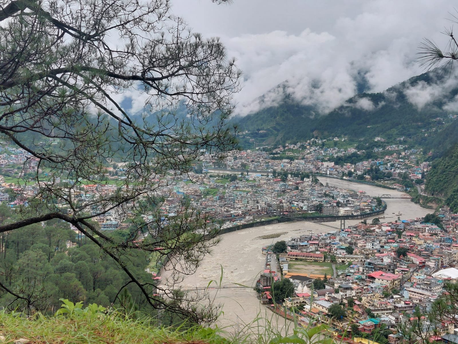
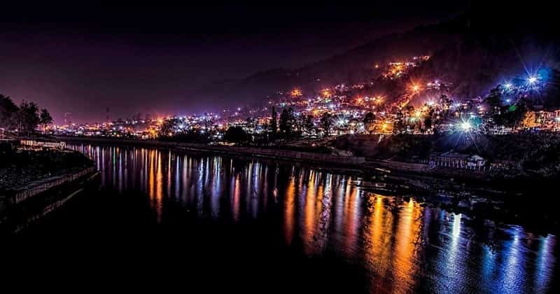
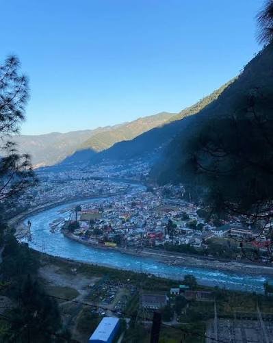
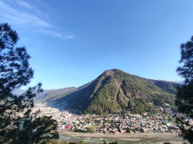
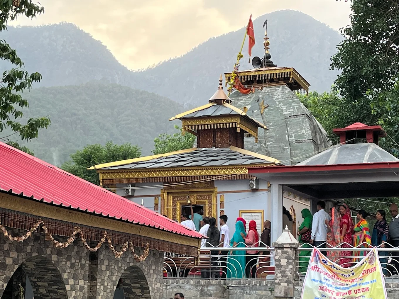
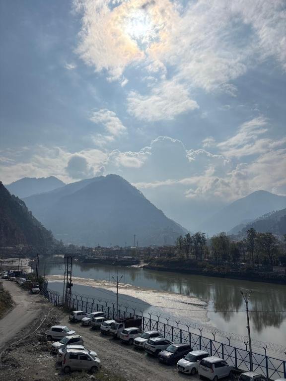
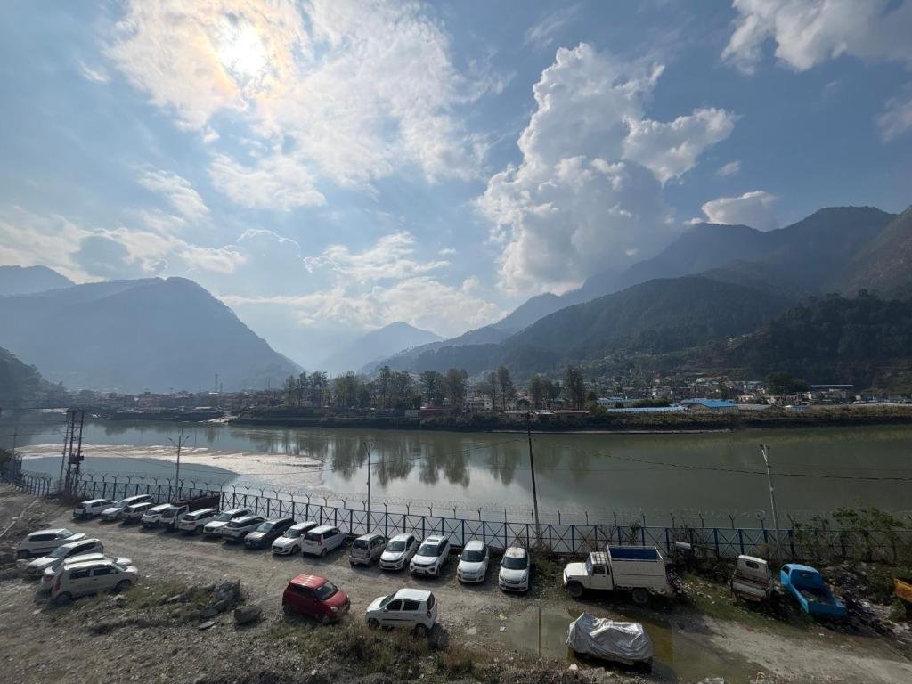
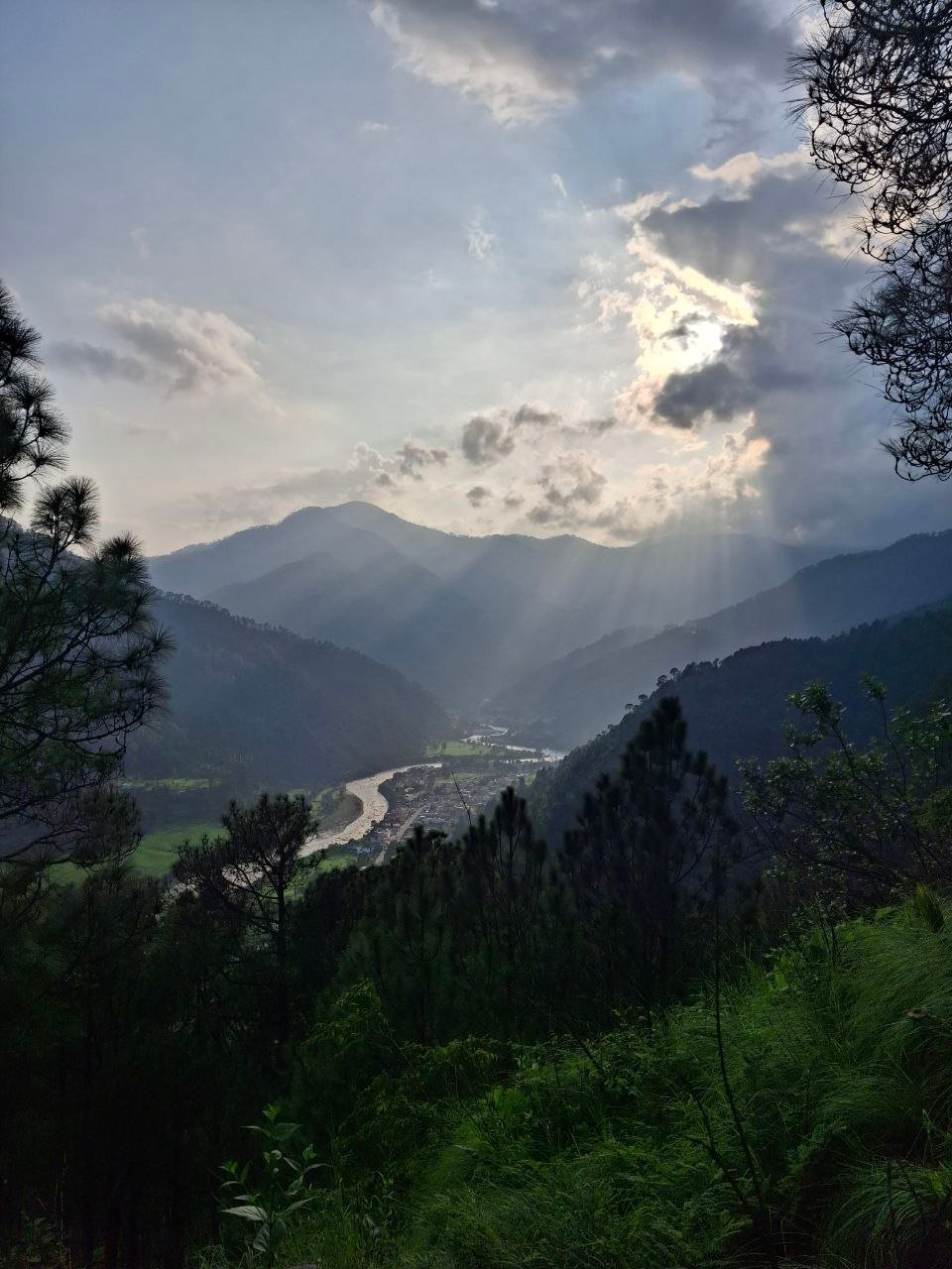
Uttarkashi is a Himalayan district headquarters town in Uttarakhand, India, sitting on the banks of the Bhagirathi river at roughly 1,150 meters, and it is best known for three things at once: it is the gateway to Gangotri and Yamunotri on the Char Dham circuit, it is home to some of India’s most respected mountaineering routes, and it is considered the spiritual “Kashi of the North” because of its ancient Vishwanath temple. If you are researching Uttarkashi Uttarakhand for a pilgrimage, a trek, or simply a slower Himalayan holiday, this guide covers everything from history and geography to hotels, weather by month, and 20+ answered questions travelers ask before booking.
Whether you are planning a five-day Char Dham stop, a two-week Himalayan trek, or a first solo trip into the mountains, Uttarkashi India rewards travelers who take their time. This guide is built to be the only page you need to open before you go.
Where Is Uttarkashi?
Uttarkashi sits in the north-west corner of Uttarakhand, bordering Himachal Pradesh, Tibet, and the districts of Tehri Garhwal, Dehradun, Rudraprayag, and Chamoli, spread across roughly 8,016 square kilometers of Himalayan terrain.
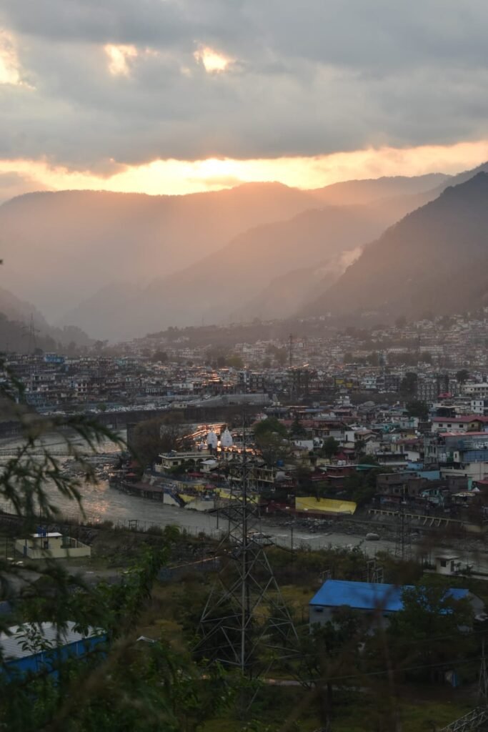
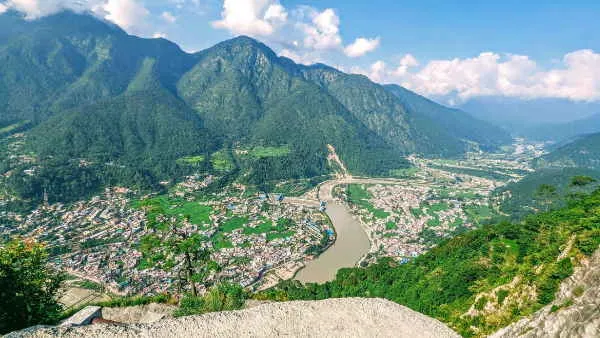
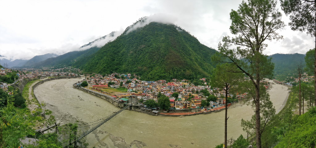
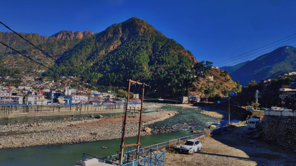
The town itself, which also functions as the district headquarters, is built along the Bhagirathi river at an elevation of about 1,150 to 1,200 meters. From there, the district climbs dramatically — some of its northern ridges cross 7,000 meters, which means a single administrative district contains everything from pine forests and terraced farms to permanent snowfields and glacier basins.
Uttarkashi district was formally created on 24 February 1960, carved out of the Rawain and Uttarkashi parganas that had earlier belonged to Tehri Garhwal. Today it is the second-largest district in Uttarakhand by area, and its road network connects it to Dehradun, Rishikesh, Gangotri, Yamunotri, Harsil, and Sankri — making it a natural staging point for anyone heading deeper into the Garhwal Himalayas.

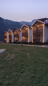
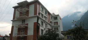
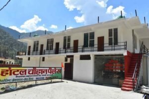
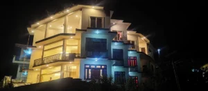
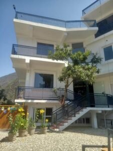
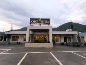
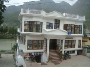
Need accommodation in Uttarkashi? Whether you’re visiting for the Char Dham Yatra, trekking in the Himalayas, or exploring the town, Kashi of North helps you book trusted hotels and homestays at the best available rates. [Book Now HOTELS]
Why Uttarkashi Is Called the Kashi of the North
Uttarkashi means “Kashi of the North” (Uttara + Kashi), a name earned because the town mirrors Varanasi’s sacred geography almost point for point — both sit on a river considered the Ganga, both are framed by two smaller rivers named Varuna and Asi, both have a Manikarnika Ghat, and both are anchored by a temple dedicated to Vishwanath.
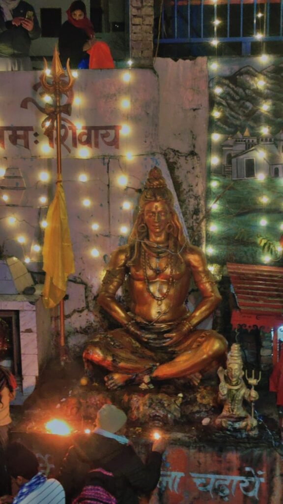
This isn’t a marketing comparison — it’s a genuine topographical echo that has shaped how pilgrims treat the town for centuries. In Uttarkashi, the Bhagirathi plays the role the Ganga plays in Varanasi. The Kaligad (locally called the Asi) and the Syalam Gad (called the Varuna) frame the town the same way Varanasi’s Asi and Varuna rivers do. The Kashi Vishwanath Temple here is treated by many pilgrims as the Himalayan counterpart to the jyotirlinga in the plains.
Old texts and oral tradition also refer to the wider belt as Saumya Kashi, meaning the “gentle” or “calm” Kashi — a nod to its quieter, more contemplative character compared to the crowded ghats of the plains. The 7th-century Chinese traveler Xuanzang recorded the region under the name Brahmapura, describing it as a queens-ruled capital, which gives the town’s spiritual reputation a documented history stretching back well over a thousand years.

History of Uttarkashi
Uttarkashi’s recorded history stretches from Mahabharata-era hill tribes through Garhwal kingdom rule, Gorkha occupation, British annexation, and eventual merger into independent India’s Uttarakhand state in 2000.
Ancient References
Hill tribes referenced in the Upayana Parva of the Mahabharata — the Kiratas, Uttara Kurus, Khasas, Tanganas, Kunindas, and Pratanganas — are believed to have inhabited this belt since ancient times. The Kedar Khand section of the Skanda Purana names the Bhagirathi, Jahnavi, and Bheel Ganga rivers directly, confirming that this landscape held religious significance well before it appears in any dated inscription.
Local tradition holds that the sage Jada Bharatha performed penance here, and Parashurama is said to have undertaken tapasya in the same valley — stories that, true to Himalayan oral history, are told less as legend and more as lived memory by people who still visit the same spots.
Medieval and Colonial Period
The region fell under the Garhwal kingdom, whose rulers carried the title “Pal” before it was changed to “Sah,” reportedly under the influence of the Delhi Sultanate around the 15th century. In 1803, Gorkha forces from Nepal invaded Garhwal, installing Amar Singh Thapa as regional governor. Gorkha expansion eventually brought them into direct conflict with the British, and after the Anglo-Nepalese War, the British annexed Garhwal in April 1815.
The annexed territory was split — eastern Garhwal stayed under direct British control, while western Garhwal was handed to Sudarshan Sah, heir to the Garhwal dynasty, forming what became known as Tehri Garhwal state. This princely state merged into Uttar Pradesh in 1949, two years after Indian independence, and Uttarkashi eventually became part of the newly formed state of Uttarakhand in 2000.
The Border Shift After 1962
One detail most guides skip: before 1962, valleys like Nelong and Jadh Ganga near Harsil functioned as trade corridors linking the plains to Tibet, used by traders carrying salt and wool. After the 1962 India-China war, these same valleys became sensitive military zones. Some areas remain restricted or require special permits to this day — a fact that directly affects trip planning for travelers headed toward the upper Bhagirathi belt.
Traveling toward restricted zones like Nelong Valley or Harsil? Kashi of North’s permit assistance service handles the paperwork so you’re not stuck at a checkpoint.
Cultural and Religious Importance
Uttarkashi functions less like a single pilgrimage site and more like a living kshetra — a sacred field where dozens of deities, from the major jyotirlinga-linked Vishwanath to obscure village devtas, share the same valley without any single one dominating religious life. This is the essence of “Devbhoomi Uttarakhand” made concrete: shrines, glacier sources, village oracles, and seasonal fairs all feed into one continuous religious calendar.
For most Indian pilgrims, Uttarkashi India is either the first stop or the last stop of the Char Dham Yatra — a place to seek blessings at Kashi Vishwanath before or after the physically demanding climbs to Gangotri and Yamunotri.
Geography of Uttarkashi District
Uttarkashi’s geography is best understood as a vertical corridor rather than a flat district map. Starting at roughly 1,150 meters in the town itself, the land rises through pine and deodar forest belts (1,500–2,400 m), opens into high alpine meadows called bugyals (3,000–4,000 m), and finally climbs into glacier basins and technical mountain terrain above 4,500 meters — all within one district’s boundary.

| Geographic Feature | Approximate Range |
|---|---|
| District area | 7,950–8,016 sq km |
| Uttarkashi town elevation | 1,150–1,200 m |
| Forest belt | 1,500–2,400 m |
| Bugyal (meadow) belt | 3,000–4,000 m |
| Glacier/high-pass zone | 4,500–7,000+ m |
| Bordering regions | Himachal Pradesh, Tibet (China), Chamoli, Rudraprayag, Tehri Garhwal, Dehradun |
This dramatic elevation range is exactly why the district supports everything from terraced apple orchards to some of India’s most demanding Himalayan expeditions within a single day’s drive of each other.
Climate and Weather
Uttarkashi experiences four fairly distinct seasons, though “distinct” looks different depending on elevation — Uttarkashi town rarely sees the same weather as Gangotri or Harsil on the same day.
- Summer (April–June): Pleasant in the town, with daytime temperatures around 15–30°C; higher altitudes stay cool and are the prime trekking window.
- Monsoon (July–August): Heavy rainfall, landslide risk on hill roads, and lush green valleys; not ideal for trekking but atmospheric for those staying in town.
- Autumn (September–November): Widely considered the best season — clear skies, stable roads, and cool but comfortable temperatures.
- Winter (December–March): Snow blankets higher altitudes; Uttarkashi town gets cold but rarely heavy snowfall, while places like Dayara Bugyal and Kedarkantha become winter trekking destinations.
Rivers of Uttarkashi
The Bhagirathi and the Yamuna both begin their journeys inside Uttarkashi district, making it one of the most hydrologically important districts feeding the Ganga river system in North India.
| River | Origin | Key Facts |
|---|---|---|
| Bhagirathi | Gaumukh, Gangotri Glacier (~4,000 m) | Flows ~200 km before joining the Alaknanda at Devprayag to form the Ganga |
| Yamuna | Yamunotri / Bandarpunch massif (~3,200–6,000+ m) | Only its earliest stretch lies in Uttarkashi before it exits toward the plains |
| Assi Ganga | Dodital Lake (3,029 m) | Flows ~45 km through deodar forest before joining the Bhagirathi near Uttarkashi town |
| Kedar Ganga | Kedar Tal (4,750 m) | Joins the Bhagirathi at Gangotri village through a dramatic 1,200 m gorge |
| Bhilangna | Khatling Glacier (3,717 m) | Longest Bhagirathi tributary, feeding the Tehri reservoir |
| Jadh Ganga | Nelong Valley | Historic side valley stream near the restricted border belt |
Every major trek and pilgrimage route in the district essentially follows one of these rivers upstream, which is why understanding the water systems here also means understanding the travel routes.
Glaciers
The Gangotri Glacier — roughly 30 kilometers long — is the headline feature of the district’s ice architecture, feeding the Bhagirathi from its snout at Gaumukh. It’s fed in turn by tributary glaciers including Chaturangi, Raktavarna, and Kirti Bamak, most of them protected within Gangotri National Park, which spans somewhere between 1,550 and 2,390 square kilometers depending on the boundary definition used.
| Glacier | Length/Size | Feeds |
|---|---|---|
| Gangotri Glacier | ~30 km | Bhagirathi (via Gaumukh) |
| Chaturangi Glacier | Multi-branch tributary | Gangotri system |
| Raktavarna Glacier | Medium tributary | Gangotri system |
| Kirti Bamak | Tributary | Upper Bhagirathi catchment |
For most travelers, the closest they’ll get to this glacier system is the Gaumukh Tapovan trek, which follows the glacier’s lower tongue directly.
Mountain Ranges and Major Peaks
Two ranges dominate the district’s skyline. The Bandarpunch Range sits west of the Bhagirathi, throwing spurs toward Yamunotri, Har Ki Dun, and Dayara Bugyal, and includes Bandarpunch (6,316 m) and Kalanag/Black Peak (6,387 m). The Gangotri Range lies east and north-east of Gangotri Dham, crowned by Chaukhamba I (7,138 m) and a dense ring of 6,000+ m peaks including Shivling, Thalay Sagar, Meru, and the three Bhagirathi peaks.
| Peak | Height | Character |
|---|---|---|
| Chaukhamba I | 7,138 m | Four-pillared massif, major expedition objective |
| Satopanth | 7,075 m | High ice pyramid, expedition-only |
| Thalay Sagar | 6,904 m | Technical rock-and-ice tower |
| Meru | 6,600+ m | Famous near-vertical “Shark’s Fin” face |
| Bandarpunch | 6,316 m | Popular pre-7,000er training peak |
| Shivling | 6,543 m | Iconic double-summit pyramid above Tapovan |
National Parks and Wildlife
Gangotri National Park is one of Uttarakhand’s largest protected areas, ranging in elevation from about 1,800 m to over 7,000 m, and it contains the Gangotri, Chaturangi, and Raktavarna glaciers along with peaks like Satopanth, Kedarnath Dome, and Shivling. Govind Pashu Vihar, accessed via Sankri, connects to Har Ki Dun and Bali Pass and shelters Himalayan tahr, musk deer, and occasionally snow leopard.
Bugyals (High-Altitude Meadows)
Bugyals are alpine grazing meadows, typically sitting between 3,000 and 4,000 meters, that turn into snowfields in winter and wildflower carpets by monsoon and early autumn.
| Bugyal | Elevation | Approx. Trek Distance |
|---|---|---|
| Dayara Bugyal | 3,400–3,700 m | 14–22 km round trip |
| Gidara Bugyal | 3,700–4,000 m | 30+ km, 5–7 days |
| Chainsheel Bugyal | 3,500–3,800 m | 25–35 km, 4–6 days |
| Gulabi Kantha Bugyal | 3,700–3,800 m | 12–18 km, 3–4 days |
| Kush Kalyan Bugyal | 3,500–3,800 m | 30+ km, 5–6 days |
Want a bugyal trek that matches your fitness level and available days? Kashi of North’s trek booking service matches routes to your schedule and arranges local guides and camping gear.
Mountain Passes
| Pass | Height | Route | Notes |
|---|---|---|---|
| Bali Pass | ~4,900–5,000 m | Har Ki Dun to Yamunotri | 60–70 km |
| Kalindi Khal | 5,947 m | Gangotri to Badrinath | 12–15 days, technical glacier travel |
| Rupin Pass | 4,650 m | Dhaula to Sangla | 52 km, 7–8 days |
| Darwa Pass | 4,100 m | Dodital extension | 40 km round trip |
| Borasu Pass | 5,450 m | Sankri to Chitkul | Ancient trade route, Uttarakhand-Himachal border |
| Auden’s Col | ~5,490–5,500 m | Full expedition route | 70–80 km, expedition-style |
Trekking in Uttarkashi
Uttarkashi’s treks fall into three broad bands: easy bugyal walks under 4,000 meters, moderate lake and glacier-edge treks up to 4,200 meters, and difficult high-pass or glacier treks pushing 4,500–5,900 meters.
| Trek | Difficulty | Altitude | Best Season | Guide Required |
|---|---|---|---|---|
| Dayara Bugyal | Easy | ~3,700 m | May–June, Oct–Nov | Recommended |
| Dodital | Easy–Moderate | 3,029 m | April–June, Sept–Nov | Recommended |
| Gaumukh Tapovan | Moderate | 4,300–4,400 m | May–June, Sept–Oct | Mandatory (permit zone) |
| Kedartal | Difficult | ~4,750 m | Sept–Oct | Mandatory |
| Har Ki Dun | Moderate | ~3,566 m | May–June, Sept–Nov | Recommended |
| Kedarkantha | Moderate | ~3,800 m | Dec–April (snow) | Recommended |
Every trek into Gangotri National Park requires a forest permit, and treks near the Nelong Valley or Indo-Tibet border belt require additional inner-line clearance. Guides are not just a formality here — trail markers are minimal above the tree line, and weather can change fast enough to disorient even experienced trekkers.
Skip the permit paperwork and guide-hunting. Kashi of North arranges certified trek guides, permits, and camping equipment for every route listed above.
Mountaineering and Expeditions
For Indian climbers, Uttarkashi functions as something close to a training ground before attempting 8,000-meter peaks elsewhere. The Nehru Institute of Mountaineering, based in Uttarkashi town itself, has trained generations of Indian mountaineers and remains one of the most respected climbing institutions in the country.
| Expedition | Height | Notes |
|---|---|---|
| Bandarpunch | 6,316 m | 17–20 day expeditions from Sankri, crevasse-heavy approach |
| Gangotri Peaks (I, II, III) | 6,590–6,684 m | Classic pre-Everest training objectives, 15–23 days |
| Satopanth | 7,075 m | Long, high, and committing |
| Meru | 6,600+ m | World-famous technical face climb |
| Black Peak (Kalanag) | 6,387 m | Approached from Sankri, popular early summit |
| Swargarohini | 6,252 m | 2,000 m north face drop |
Char Dham Connection: Gangotri and Yamunotri
Uttarkashi district hosts two of the four Char Dham shrines — Gangotri and Yamunotri — making it a mandatory stop for anyone doing the full circuit.
Gangotri, at around 3,400 meters, sits in a narrow valley with the Bhagirathi thundering past the temple steps. From here, a foot trail runs roughly 18–19 km to Gaumukh and another 4–5 km to Tapovan, turning a temple visit into a genuine Himalayan journey for those with extra days.
Yamunotri, at roughly 3,200–3,300 meters, is reached via a road to Janki Chatti followed by a steep 5–6 km climb on foot, pony, or palki. Hot springs near the temple are a major part of the pilgrimage experience here.
Doing the full Char Dham circuit? Kashi of North offers complete Char Dham travel assistance — hotel bookings near Gangotri and Yamunotri, taxi transfers, and pony/palki arrangements — so you’re not managing five different bookings yourself.
Kashi Vishwanath Temple and Local Deities
The Kashi Vishwanath Temple in Uttarkashi town is the spiritual heart of the district, treated as the Himalayan counterpart to Varanasi’s jyotirlinga. Beyond it, village-level deity worship remains central to local life:
- Kandar Devta — associated with protection and justice, worshipped through oracle rituals
- Someshwar Devta — blends Shaivite tradition with local folk customs
- Raj Rajeshwari — invoked for household wellbeing
- Nagini Mata — serpent-associated goddess tied to water sources and field protection
- Kuteti Devi — hilltop temple near Uttarkashi with wide valley views

Villages Worth Visiting
Harsil, once a quiet trading outpost toward Tibet, is now known for its apple orchards and colonial-era wooden architecture. Dharali, just before Harsil, sits along a scenic stretch of the Bhagirathi. Sankri, the gateway to Har Ki Dun and Govind Pashu Vihar, functions as base camp for several major treks. Raithal and Barsu, both starting points for the Dayara Bugyal trek, retain a slower, more agricultural rhythm than the busier pilgrimage towns.
Best Places to Visit in Uttarkashi
- Kashi Vishwanath Temple, Uttarkashi town
- Gangotri Dham and Gaumukh
- Yamunotri Dham
- Dodital Lake
- Dayara Bugyal
- Harsil Valley
- Kedar Tal
- Nehru Institute of Mountaineering (museum open to visitors)
- Kuteti Devi Temple
Offbeat and Hidden Places
- Nelong Valley (permit-restricted, near-Tibet landscape)
- Gidara Bugyal (remote, multi-day approach)
- Chainsheel Bugyal (border-belt meadow, low footfall)
- Auden’s Col approach villages (for serious trekkers seeking solitude)
read more ..Hidden Places in Uttarkashi: 11 Offbeat Gems You Won’t Find on Every Travel Guide
Things to Do
Beyond temple visits and trekking, Uttarkashi offers river-side walks along the Bhagirathi ghats, evening aarti viewing, apple-orchard visits around Harsil, wildlife spotting inside Govind Pashu Vihar, and photography sessions at Kedar Tal, where rare blue poppies bloom in June along the gorge walls.
Food and Local Cuisine
Garhwali cuisine dominates local kitchens — dishes like kafuli (a leafy green curry), jhangora ki kheer (a millet-based dessert), and aloo ke gutke (spiced potatoes) are common. Small dhabas along the pilgrimage route serve simple, filling meals suited to the altitude and cold, and roadside tea shops are a genuine part of the travel culture here, not just a stop for photos.
Festivals and Local Culture
| Festival | Timing | Highlights |
|---|---|---|
| Ganga Dussehra | May–June | Marks the mythic descent of the Ganga |
| Butter Holi (Makhan Holi) | August | Celebrated with butter and buttermilk on meadows like Dayara Bugyal |
| Magh Mela | Winter (annual) | Held on the Bhagirathi ghats near Kashi Vishwanath Temple |
| Selku Mela | Annual, village-fixed dates | Local fair in the Rawain-Uttarkashi belt |
| Mahashu Devta Fair | Seasonal | Village fairs tied to Mahasu Devta tradition |
Markets and Shopping
Uttarkashi’s main bazaar near the Vishwanath Temple is the best place for trekking gear rental, woolens, and local handicrafts. Harsil is known for apples in season, while smaller village markets sell handwoven woolens and locally made snacks.
Where to Stay: Hotels, Homestays, Camping
Uttarkashi town has a full range of stays from budget lodges to mid-range hotels near the ghats. Harsil and Sankri lean more toward homestays run by local families, which tend to offer a far more grounded experience than standard hotel rooms. For trekkers heading toward Dayara Bugyal, Kedartal, or Har Ki Dun, campsites are the norm above the roadhead.
| Stay Type | Best For | Where |
|---|---|---|
| Budget hotels | Pilgrims, backpackers | Uttarkashi town |
| Mid-range hotels | Families, Char Dham travelers | Uttarkashi, Gangotri road |
| Homestays | Cultural immersion | Harsil, Sankri, Raithal |
| Camping | Trekkers | Dayara, Kedartal, Har Ki Dun |
Booking a room during peak Char Dham season can be genuinely stressful — availability disappears fast. Kashi of North handles hotel and homestay bookings across Uttarkashi, including verified stays near Gangotri and Yamunotri.
How to Reach Uttarkashi
By Road: Most travelers reach Uttarkashi via Dehradun or Rishikesh, both well connected to Delhi. Regular state buses run from Dehradun early each morning, and the common self-drive route runs Dehradun → Mussoorie → Chinyalisaur → Uttarkashi.
By Train: The nearest major railway station is Dehradun, connected to Delhi and other major cities, followed by a road journey to Uttarkashi.
By Air: Jolly Grant Airport in Dehradun is the nearest airport; seasonal helicopter service also connects Dehradun’s Sahastradhara helipad to a helipad near Joshiyara, close to Uttarkashi town.
| Mode | From | Approx. Time |
|---|---|---|
| Road (bus/taxi) | Dehradun | 6–7 hours |
| Road (bus/taxi) | Rishikesh | 7–8 hours |
| Train + Road | Delhi via Dehradun | 8–10 hours total |
| Flight + Road | Delhi via Jolly Grant | 5–6 hours total |
| Helicopter | Dehradun | ~30 minutes |
Don’t want to figure out bus timings or negotiate taxi fares on arrival? Kashi of North runs private taxi transfers from Dehradun and Rishikesh directly to Uttarkashi, with pickup timed to your flight or train.

Month-by-Month Weather Guide
| Month | Temp (Town) | Snow | Rain | Roads | Recommended Activity |
|---|---|---|---|---|---|
| January | -2°C to 10°C | High altitude | Low | Winter driving caution | Snow treks (Kedarkantha) |
| February | 0°C to 12°C | High altitude | Low | Improving | Snow treks |
| March | 5°C to 18°C | Reducing | Low | Good | Early season travel |
| April | 8°C to 22°C | Melting | Occasional | Good | Char Dham prep, low treks |
| May | 12°C to 28°C | Minimal (town) | Occasional | Good | Char Dham peak, trekking |
| June | 15°C to 30°C | Higher altitude only | Pre-monsoon showers | Good | Trekking, Char Dham |
| July | 15°C to 28°C | Higher altitude only | Heavy | Landslide risk | Avoid high treks |
| August | 15°C to 27°C | Higher altitude only | Heavy | Landslide risk | Butter Holi, low-key travel |
| September | 12°C to 25°C | Early snow (high alt.) | Reducing | Good | Best trekking window opens |
| October | 8°C to 22°C | Early snow (high alt.) | Low | Good | Peak trekking season |
| November | 3°C to 18°C | Onset | Minimal | Good | Late-season treks |
| December | -2°C to 12°C | Heavy (high alt.) | Minimal | Winter caution | Winter treks, snow photography |
Practical Travel Information
Best time to visit: April–June and September–November for most travel; December–February for snow treks.
How many days: A basic Uttarkashi–Gangotri–Yamunotri loop needs 4–5 days; adding a trek like Dayara Bugyal or Dodital needs 6–8 days; multi-day treks like Kedartal or Har Ki Dun need a full week or more on their own.
Internet and mobile network: Reliable in Uttarkashi town; patchy to nonexistent past Harsil and on most trek routes. Download offline maps in advance.
ATMs and cash: Available in Uttarkashi town; carry sufficient cash beyond that point, as villages and trek starting points often lack ATM access.
Hospitals: A district hospital operates in Uttarkashi town; medical facilities thin out significantly at higher altitudes, so travelers with existing conditions should plan accordingly.
Fuel: Last reliable fuel pumps are typically in Uttarkashi town before Gangotri-bound and Harsil-bound routes; plan fuel stops ahead of time.
Altitude sickness: Treks and pilgrimage points above 3,000 meters (Gangotri, Yamunotri, Dayara, Kedartal) carry real altitude sickness risk. Acclimatize gradually, hydrate well, and avoid rushing ascent on multi-day treks.
Permits: Required for Gangotri National Park treks (Gaumukh, Tapovan, Kedartal) and mandatory inner-line permits for areas near Nelong Valley and the Indo-Tibet border belt.
Packing List
- Layered clothing (thermal base layers for high-altitude treks)
- Sturdy trekking shoes
- Rain protection (especially June–August)
- Sunscreen and sunglasses (UV exposure increases with altitude)
- Basic first-aid and altitude sickness medication
- Power bank (charging points are unreliable past major towns)
- Cash in small denominations
Emergency Contacts
| Service | Contact |
|---|---|
| Uttarakhand Tourist Helpline | 1364 / 1070 |
| Uttarkashi District Hospital | Local district helpline |
| Police Control Room | 112 |
| Kashi of North Travel Assistance | WhatsApp: +91 7253079221 |
Need someone on the ground who actually knows the current road and permit situation? Message Kashi of North on WhatsApp before you leave — real-time local advice beats outdated blog posts.
Responsible Tourism
Uttarkashi’s ecosystem, from its bugyals to its glacier basins, is fragile and slow to recover from overuse. Carry out all non-biodegradable waste, avoid open fires in meadow zones during dry months, stick to marked trails inside Gangotri National Park, and respect local deity customs and village-level rituals even when they aren’t explained to outsiders. Hiring local guides and porters also puts trekking revenue directly into the villages these routes pass through.
Conclusion
Uttarkashi isn’t a place you finish in a weekend. It’s a district where a morning at the Kashi Vishwanath ghats can lead, by evening, to a village tea shop conversation about a glacier pass most maps barely mark. Whether your reason for coming is the Char Dham Yatra, a bugyal trek, or a serious mountaineering objective on Bandarpunch or the Gangotri peaks, Uttarkashi Uttarakhand rewards travelers who slow down and let the valley set the pace.
If you’re ready to turn this research into an actual itinerary, Kashi of North can handle the parts that usually eat up planning time — hotel and homestay bookings, private taxis, trek guides, permits for Gangotri National Park and border-belt areas, camping arrangements, and full Char Dham tour packages. Reach out on WhatsApp at +91 7253079221 or visit kashiofnorth.com and let a local team handle the logistics while you focus on the mountains.
Frequently Asked Questions
1. Where is Uttarkashi located? Uttarkashi is a district headquarters town in the state of Uttarakhand, India, located in the north-west corner of the state along the Bhagirathi river, bordering Himachal Pradesh and Tibet.
2. Why is Uttarkashi called the Kashi of the North? It shares striking geographic parallels with Varanasi — both sit on a river considered the Ganga, are flanked by rivers named Varuna and Asi, and have a Manikarnika Ghat and a Vishwanath temple, which is why it’s known as the northern Kashi.
3. What is Uttarkashi famous for? Uttarkashi is famous for the Kashi Vishwanath Temple, its role as gateway to Gangotri and Yamunotri, and its status as a major Himalayan mountaineering and trekking hub.
4. How do I reach Uttarkashi from Delhi? The most common route is Delhi to Dehradun by train or flight, followed by a 6–7 hour road journey to Uttarkashi by bus or taxi.
5. What is the best time to visit Uttarkashi? April to June and September to November are the best months for general travel and trekking; December to February suits snow treks like Kedarkantha.
6. Is a permit required to trek in Uttarkashi? Yes, treks inside Gangotri National Park (Gaumukh, Tapovan, Kedartal) require forest permits, and areas near the Indo-Tibet border, such as Nelong Valley, require additional inner-line permits.
7. How many days are needed to visit Uttarkashi? A basic pilgrimage loop covering Uttarkashi, Gangotri, and Yamunotri takes 4–5 days; adding a trek extends this to 6–10 days depending on the route.
8. What is the altitude of Uttarkashi town? Uttarkashi town sits at approximately 1,150 to 1,200 meters above sea level.
9. Is Uttarkashi part of the Char Dham Yatra? Yes, Uttarkashi district hosts two of the four Char Dham shrines — Gangotri and Yamunotri.
10. What is the easiest trek near Uttarkashi? Dayara Bugyal is considered one of the easiest and most accessible treks, suitable for beginners, with a round trip of roughly 14–22 km.
11. What is the most difficult trek in Uttarkashi district? Auden’s Col and Kalindi Khal are among the most difficult routes, requiring technical glacier travel and expedition-level experience.
12. Can families visit Uttarkashi? Yes, Uttarkashi town, Gangotri, Yamunotri, and easy treks like Dayara Bugyal are all family-friendly with proper planning around altitude and pacing.
13. What is the local food in Uttarkashi? Garhwali dishes like kafuli, jhangora ki kheer, and aloo ke gutke are common, alongside simple dhaba meals suited to the mountain climate.
14. Are there ATMs in Uttarkashi? ATMs are available in Uttarkashi town, but cash access becomes unreliable past Harsil and at most trek starting points, so carrying cash is advised.
15. Is mobile network available throughout Uttarkashi district? Network coverage is reliable in Uttarkashi town but becomes patchy or nonexistent past Harsil and on most higher-altitude trekking routes.
16. What wildlife can be seen in Uttarkashi? Govind Pashu Vihar and Gangotri National Park host Himalayan tahr, musk deer, and occasionally snow leopard, along with various high-altitude bird species.
17. What is the significance of the Bhagirathi river to Uttarkashi? The Bhagirathi originates at Gaumukh inside the district and flows directly through Uttarkashi town, forming the spiritual and geographic backbone of the region.
18. Is Uttarkashi safe for solo travelers? Yes, Uttarkashi is generally considered safe for solo travelers, though higher-altitude treks and border-belt areas should be attempted with a local guide.
19. What should I pack for a trip to Uttarkashi? Layered clothing, sturdy trekking shoes, rain protection, sun protection, basic first-aid, and cash in small denominations are essential, especially for trekking.
20. Does Kashi of North help with Char Dham trip planning? Yes, Kashi of North provides hotel bookings, taxi transfers, trek guides, permit assistance, and full tour packages covering the entire Uttarkashi and Char Dham circuit.
21. What is the difference between Gangotri and Gaumukh? Gangotri is the temple town at around 3,400 meters where pilgrims stop; Gaumukh, roughly 18–19 km further on foot, is the actual snout of the Gangotri Glacier and the physical source of the Bhagirathi.
22. Can I visit Uttarkashi in winter? Yes, Uttarkashi town remains accessible in winter and is a base for snow treks like Kedarkantha and Dayara Bugyal, though some higher routes and the Gangotri/Yamunotri temples close seasonally.me back.
This guide was written for KashiOfNorth.com — the definitive tourism directory for Uttarkashi District, Uttarakhand. Explore our guides to every destination in the district: Gangotri, Harsil, Gangnani, Sukki Top, Bhatwari, Dharali, Mukhba Village, Bagori Village, Gaumukh Trek, Dayara Bugyal, Dodital Trek, Kedartal Trek, Yamunotri, and the complete Char Dham Yatra.